Pagatan geodata
Pagatan (Central Kalimantan) is a seat of a third-order administrative division; located in Indonesia in Asia/Pontianak (GMT+7) time zone. In our database, there are 407 cities with bigger population. Compared to other cities in Indonesia, 91% of cities are located further ↓South; 60.8% of cities are located further ←West and 98.5% of cities have higher elevation than Pagatan. Note1


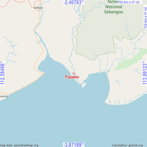
Pagatan GPS coordinates[2]
3° 10' 12.36" South, 113° 17' 17.16" East
| Map corner | latitude | longitude |
|---|---|---|
| Upper-left | -2.46783°, | 112.58498° |
| Center: | -3.1701°, | 113.2881° |
| Lower-right: | -3.87189°, | 113.99123° |
| Map W x H: | 156.1×156.1 km | = 97×97mi |
| max Lat: | 5.88969° ⇑9% North |
| Pagatan: | -3.1701° |
| min Lat: | ⇓91% South -10.934° |
| min Long | Pagatan | max Long |
| 95.1345° | 113.2881° | 140.9419° |
| W 60.8%⇐ | ⇒39.2% E |
Elevation
Elevation of Pagatan is 5 m = 16 ft, and this is 224.7 m = 737 ft below average elevation for this country.
| Max E: |
3185 m = 10449 ft | 98.5% |
| Avg. | 229.7 m = 754 ft | |
| Pagatan | 5 m = 16 ft | |
Min E: |
-1 m = -3 ft | 1.5% |
See also: Indonesia elevation on elevation.city.
Geographical zone
Pagatan is located in South Torrid zone (between Equator and Tropic of Capricorn). Distance of Equator is 352.5 km =219 mi to North.| Distance of | km | miles | from Pagatan |
|---|---|---|---|
| Equator | 352.5 | 219 | to North |
| Tropic Capricorn | 2253.4 | 1400.2 | to South |
| Antarctic Circle | 7048.7 | 4379.9 | to South |
| South Pole | 9654.6 | 5999.1 | to South |


Nearby cities:
15 places around Pagatan: (largest is in red/bold)
• Anjirserapat
122.6 km =76.2 mi,  83°
83°
• Barimba
130.7 km =81.2 mi, 78°
• Basarang
114.6 km =71.2 mi, 78°
• Halimaung Jaya (F-3)
83.1 km =51.6 mi,  263°
263°
• Kotabesi
94.3 km =58.6 mi,  340°
340°
• Kuala Pembuang
85.5 km =53.1 mi,  253°
253°
• Kualakapuas
123.4 km =76.7 mi, 81°
• Lupak
111.3 km =69.2 mi,  102°
102°
• Palangkaraya
127.7 km =79.3 mi,  33°
33°
• Petakbehandang
122.6 km =76.2 mi,  7°
7°
• Pulang Pisau
114.9 km =71.4 mi,  67°
67°
• Sampit
80.3 km =49.9 mi,  332°
332°
• Semuda
49 km =30.4 mi,  314°
314°
• Tabunganen
135.3 km =84.1 mi, 101°
• Tongkiling
132.2 km =82.1 mi, 29°
Sources, notices
• [Note1] Compared only with cities in Indonesia existing in our database
• [Src1] Map data: © OpenStreetMap contributors (CC-BY-SA)
• [Src2] Other city data from geonames.org with taken over terms of usage.
• [Src3] Geographical zone / Annual Mean Temperature by Robert A. Rohde @ Wikipedia
