Kuala Pembuang geodata
Kuala Pembuang (Central Kalimantan) is a seat of a second-order administrative division; located in Indonesia in Asia/Pontianak (GMT+7) time zone. In our database, there are 407 cities with bigger population. Compared to other cities in Indonesia, 90.5% of cities are located further ↓South; 55.4% of cities are located further ←West and 98.5% of cities have higher elevation than Kuala Pembuang. Note1


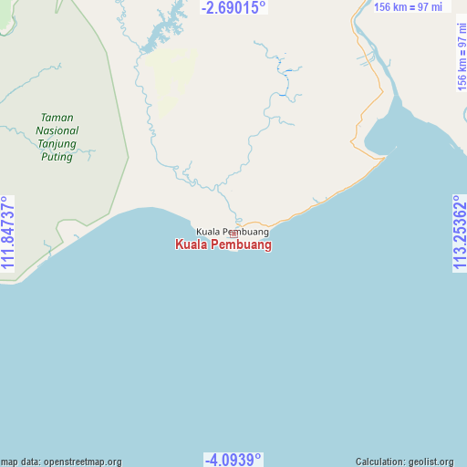
Kuala Pembuang GPS coordinates[2]
3° 23' 32.208" South, 112° 33' 1.764" East
| Map corner | latitude | longitude |
|---|---|---|
| Upper-left | -2.69015°, | 111.84737° |
| Center: | -3.39228°, | 112.55049° |
| Lower-right: | -4.0939°, | 113.25362° |
| Map W x H: | 156.1×156.1 km | = 97×97mi |
| max Lat: | 5.88969° ⇑9.5% North |
| Kuala Pembuang: | -3.39228° |
| min Lat: | ⇓90.5% South -10.934° |
| min Long | Kuala Pembuang | max Long |
| 95.1345° | 112.55049° | 140.9419° |
| W 55.4%⇐ | ⇒44.6% E |
Elevation
Elevation of Kuala Pembuang is 5 m = 16 ft, and this is 224.7 m = 737 ft below average elevation for this country.
| Max E: |
3185 m = 10449 ft | 98.5% |
| Avg. | 229.7 m = 754 ft | |
| Kuala Pembuang | 5 m = 16 ft | |
Min E: |
-1 m = -3 ft | 1.5% |
See also: Indonesia elevation on elevation.city.
Geographical zone
Kuala Pembuang is located in South Torrid zone (between Equator and Tropic of Capricorn). Distance of Equator is 377.2 km =234.4 mi to North.| Distance of | km | miles | from Kuala Pembuang |
|---|---|---|---|
| Equator | 377.2 | 234.4 | to North |
| Tropic Capricorn | 2228.7 | 1384.8 | to South |
| Antarctic Circle | 7024 | 4364.5 | to South |
| South Pole | 9629.9 | 5983.7 | to South |


Nearby cities:
15 places around Kuala Pembuang: (largest is in red/bold)
• Halimaung Jaya (F-3)
15.8 km =9.8 mi,  357°
357°
• Kotabesi
124.1 km =77.1 mi,  23°
23°
• Kotawaringin
157.4 km =97.8 mi,  310°
310°
• Kumai
116.8 km =72.6 mi, 308°
• Lupak
190.6 km =118.4 mi,  89°
89°
• Manismata
197.4 km =122.7 mi,  301°
301°
• Nanga Bulik
180.6 km =112.2 mi,  319°
319°
• Pagatan
85.5 km =53.1 mi,  73°
73°
• Pangkalanbuun
129.4 km =80.4 mi, 307°
• Pembuanghulu
107.7 km =66.9 mi,  335°
335°
• Petakbehandang
176.2 km =109.5 mi,  33°
33°
• Rantaupulut
158.7 km =98.6 mi,  345°
345°
• Sampit
105.5 km =65.6 mi, 24°
• Semilat
126.3 km =78.5 mi, 342°
• Semuda
75.4 km =46.9 mi,  38°
38°
Sources, notices
• [Note1] Compared only with cities in Indonesia existing in our database
• [Src1] Map data: © OpenStreetMap contributors (CC-BY-SA)
• [Src2] Other city data from geonames.org with taken over terms of usage.
• [Src3] Geographical zone / Annual Mean Temperature by Robert A. Rohde @ Wikipedia
