Kotatengah geodata
Kotatengah (Riau) is a seat of a third-order administrative division; located in Indonesia in Asia/Jakarta (GMT+7) time zone. In our database, there are 407 cities with bigger population. Compared to other cities in Indonesia, 96.3% of cities are located further ↓South; 97% of cities are located further →East and 72.7% of cities have higher elevation than Kotatengah. Note1


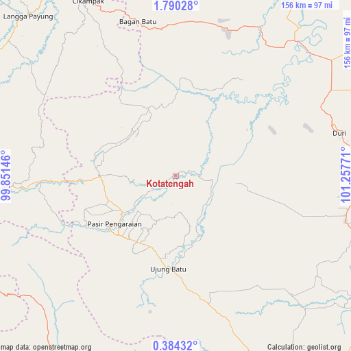
Kotatengah GPS coordinates[2]
1° 5' 14.568" North, 100° 33' 16.488" East
| Map corner | latitude | longitude |
|---|---|---|
| Upper-left | 1.79028°, | 99.85146° |
| Center: | 1.08738°, | 100.55458° |
| Lower-right: | 0.38432°, | 101.25771° |
| Map W x H: | 156.3×156.3 km | = 97.1×97.1mi |
| max Lat: | 5.88969° ⇑3.7% North |
| Kotatengah: | 1.08738° |
| min Lat: | ⇓96.3% South -10.934° |
| min Long | Kotatengah | max Long |
| 95.1345° | 100.55458° | 140.9419° |
| W 3%⇐ | ⇒97% E |
Elevation
Elevation of Kotatengah is 28 m = 92 ft, and this is 201.7 m = 662 ft below average elevation for this country.
| Max E: |
3185 m = 10449 ft | 72.7% |
| Avg. | 229.7 m = 754 ft | |
| Kotatengah | 28 m = 92 ft | |
Min E: |
-1 m = -3 ft | 27.3% |
See also: Indonesia elevation on elevation.city.
Geographical zone
Kotatengah is located in North Torrid zone (between Equator and Tropic of Cancer). Distance of Equator is 120.9 km =75.1 mi to South.| Distance of | km | miles | from Kotatengah |
|---|---|---|---|
| North Pole | 9886.2 | 6143 | to North |
| Arctic Circle | 7280.3 | 4523.8 | to North |
| Tropic Cancer | 2485 | 1544.1 | to North |
| Equator | 120.9 | 75.1 | to South |


Nearby cities:
15 places around Kotatengah: (largest is in red/bold)
• Balaipungut
81.9 km =50.9 mi,  92°
92°
• Bangkinang
98.3 km =61.1 mi,  147°
147°
• Binanga
93.7 km =58.2 mi,  292°
292°
• Dalududalu
34.5 km =21.4 mi,  268°
268°
• Duri
74.2 km =46.1 mi,  73°
73°
• Kota Pinang
103.1 km =64.1 mi,  330°
330°
• Langgapayung
96.9 km =60.2 mi,  317°
317°
• Muara Sipongi
83.4 km =51.8 mi,  226°
226°
• Panti
97.9 km =60.8 mi,  214°
214°
• Pasarujungbatu
67.6 km =42 mi, 265°
• Pasir Pengaraian
38 km =23.6 mi, 229°
• Rokan
59.8 km =37.2 mi,  195°
195°
• Sedinginan
72.9 km =45.3 mi,  44°
44°
• Sibuhuan
91.7 km =57 mi, 267°
• Ujungbatu
69.1 km =42.9 mi, 265°
Sources, notices
• [Note1] Compared only with cities in Indonesia existing in our database
• [Src1] Map data: © OpenStreetMap contributors (CC-BY-SA)
• [Src2] Other city data from geonames.org with taken over terms of usage.
• [Src3] Geographical zone / Annual Mean Temperature by Robert A. Rohde @ Wikipedia
