Muararupit geodata
Muararupit (South Sumatra) is a seat of a third-order administrative division; located in Indonesia in Asia/Jakarta (GMT+7) time zone. In our database, there are 407 cities with bigger population. Compared to other cities in Indonesia, 91.8% of cities are located further ↓South; 95.8% of cities are located further →East and 66.8% of cities have higher elevation than Muararupit. Note1


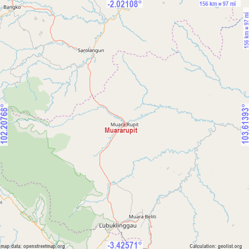
Muararupit GPS coordinates[2]
2° 43' 24.96" South, 102° 54' 38.88" East
| Map corner | latitude | longitude |
|---|---|---|
| Upper-left | -2.02108°, | 102.20768° |
| Center: | -2.7236°, | 102.9108° |
| Lower-right: | -3.42571°, | 103.61393° |
| Map W x H: | 156.2×156.2 km | = 97.1×97.1mi |
| max Lat: | 5.88969° ⇑8.2% North |
| Muararupit: | -2.7236° |
| min Lat: | ⇓91.8% South -10.934° |
| min Long | Muararupit | max Long |
| 95.1345° | 102.9108° | 140.9419° |
| W 4.2%⇐ | ⇒95.8% E |
Elevation
Elevation of Muararupit is 38 m = 125 ft, and this is 191.7 m = 629 ft below average elevation for this country.
| Max E: |
3185 m = 10449 ft | 66.8% |
| Avg. | 229.7 m = 754 ft | |
| Muararupit | 38 m = 125 ft | |
Min E: |
-1 m = -3 ft | 33.2% |
See also: Indonesia elevation on elevation.city.
Geographical zone
Muararupit is located in South Torrid zone (between Equator and Tropic of Capricorn). Distance of Equator is 302.8 km =188.2 mi to North.| Distance of | km | miles | from Muararupit |
|---|---|---|---|
| Equator | 302.8 | 188.2 | to North |
| Tropic Capricorn | 2303.1 | 1431.1 | to South |
| Antarctic Circle | 7098.3 | 4410.7 | to South |
| South Pole | 9704.2 | 6029.9 | to South |


Nearby cities:
15 places around Muararupit: (largest is in red/bold)
• Babat
81 km =50.3 mi,  91°
91°
• Bingintelok
25.5 km =15.8 mi,  64°
64°
• Curup
93.6 km =58.2 mi,  207°
207°
• Lubuklinggau
63.7 km =39.6 mi,  184°
184°
• Muara Beliti
59.9 km =37.2 mi,  166°
166°
• Muaralakitan
46.2 km =28.7 mi,  109°
109°
• Muaralimun
47.3 km =29.4 mi,  320°
320°
• Padangulaktanding
73.5 km =45.7 mi,  189°
189°
• Pauh
65.8 km =40.9 mi,  351°
351°
• Rantaupangiang
77.6 km =48.2 mi,  289°
289°
• Sarolangun
50.1 km =31.1 mi,  335°
335°
• Surulangun Rawas
19.8 km =12.3 mi,  304°
304°
• Tebing Tinggi
97.5 km =60.6 mi, 169°
• Terawas
38.1 km =23.7 mi,  196°
196°
• Tubei
90.4 km =56.2 mi,  240°
240°
Sources, notices
• [Note1] Compared only with cities in Indonesia existing in our database
• [Src1] Map data: © OpenStreetMap contributors (CC-BY-SA)
• [Src2] Other city data from geonames.org with taken over terms of usage.
• [Src3] Geographical zone / Annual Mean Temperature by Robert A. Rohde @ Wikipedia
