Louth geodata
Louth (Leinster) is a populated place; located in Ireland in Europe/Dublin (GMT+1) time zone. With population of 715 people, there are 426 cities with bigger population in this country. Compared to other cities in Ireland, 86% of cities are located further ↓South; 72.7% of cities are located further ←West and 60.2% of cities have higher elevation than Louth. Note1


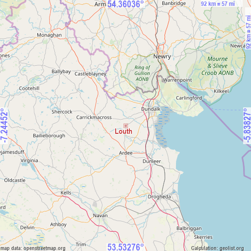
Louth GPS coordinates[2]
53° 56' 54.996" North, 6° 32' 29.004" West
| Map corner | latitude | longitude |
|---|---|---|
| Upper-left | 54.36036°, | -7.24452° |
| Center: | 53.94861°, | -6.54139° |
| Lower-right: | 53.53276°, | -5.83827° |
| Map W x H: | 92×92 km | = 57.2×57.2mi |
| max Lat: | 55.25° ⇑14% North |
| Louth: | 53.94861° |
| min Lat: | ⇓86% South 51.52487° |
| min Long | Louth | max Long |
| -10.26889° | -6.54139° | -6.04944° |
| W 72.7%⇐ | ⇒27.3% E |
Elevation
Elevation of Louth is 37 m = 121 ft, and this is 17.5 m = 57 ft below average elevation for this country.
| Max E: |
262 m = 860 ft | 60.2% |
| Avg. | 54.5 m = 179 ft | |
| Louth | 37 m = 121 ft | |
Min E: |
0 m = 0 ft | 39.8% |
See also: Ireland elevation on elevation.city.
Geographical zone
Louth is located in North temperate zone (between Tropic of Cancer and the Arctic Circle). Distance of this North polar circle is 1402.7 km =871.6 mi to North.| Distance of | km | miles | from Louth |
|---|---|---|---|
| North Pole | 4008.5 | 2490.8 | to North |
| Arctic Circle | 1402.7 | 871.6 | to North |
| Tropic Cancer | 3392.6 | 2108.1 | to South |
| Equator | 5998.5 | 3727.3 | to South |


Nearby cities:
15 places around Louth: (largest is in red/bold)
• Ardee
9.9 km =6.2 mi,  179°
179°
• Blackrock
11.7 km =7.3 mi,  81°
81°
• Carrickmacross
11.9 km =7.4 mi,  283°
283°
• Castlebellingham
11.2 km =7 mi,  118°
118°
• Castleblayney
22.5 km =14 mi,  326°
326°
• Collon
19 km =11.8 mi,  169°
169°
• Dromiskin
9.4 km =5.8 mi,  105°
105°
• Dundalk
10 km =6.2 mi,  54°
54°
• Dunleer
15.8 km =9.8 mi,  142°
142°
• Kingscourt
17.9 km =11.1 mi,  255°
255°
• Knockbridge
4.5 km =2.8 mi, 52°
• Omeath
24.2 km =15 mi, 49°
• Shercock
24.1 km =15 mi, 283°
• Tallanstown
2.9 km =1.8 mi,  186°
186°
• Tullyallen
24.9 km =15.5 mi,  161°
161°
Sources, notices
• [Note1] Compared only with cities in Ireland existing in our database
• [Src1] Map data: © OpenStreetMap contributors (CC-BY-SA)
• [Src2] Other city data from geonames.org with taken over terms of usage.
• [Src3] Geographical zone / Annual Mean Temperature by Robert A. Rohde @ Wikipedia
