Fīq geodata
Fīq (Northern District) is a seat of a second-order administrative division; located in Israel in Asia/Jerusalem (GMT+3) time zone. In our database, there are 167 cities with bigger population. Compared to other cities in Israel, 74.6% of cities are located further ↓South; 98.8% of cities are located further ←West and 75.1% of cities have lower elevation than Fīq. Note1


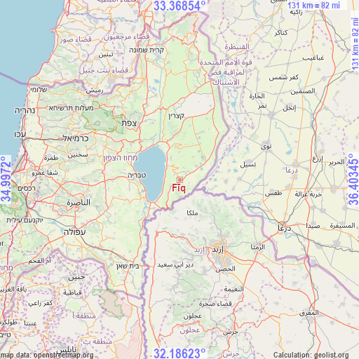
Fīq GPS coordinates[2]
32° 46' 45.66" North, 35° 42' 1.152" East
| Map corner | latitude | longitude |
|---|---|---|
| Upper-left | 33.36854°, | 34.9972° |
| Center: | 32.77935°, | 35.70032° |
| Lower-right: | 32.18623°, | 36.40345° |
| Map W x H: | 131.5×131.5 km | = 81.7×81.7mi |
| max Lat: | 33.27918° ⇑25.4% North |
| Fīq: | 32.77935° |
| min Lat: | ⇓74.6% South 29.55805° |
| min Long | Fīq | max Long |
| 34.57149° | 35.70032° | 35.81084° |
| W 98.8%⇐ | ⇒1.2% E |
Elevation
Elevation of Fīq is 330 m = 1083 ft, and this is 106.6 m = 350 ft above average elevation for this country.
| Max E: |
988 m = 3241 ft | 24.9% |
| Fīq | 330 m 1083 ft | |
| Avg. | 223.4 m = 733 ft | |
Min E: |
-380 m = -1247 ft | 75.1% |
See also: Israel elevation on elevation.city.
Geographical zone
Fīq is located in North temperate zone (between Tropic of Cancer and the Arctic Circle). Distance of this Northern Tropic circle is 1038.8 km =645.5 mi to South.| Distance of | km | miles | from Fīq |
|---|---|---|---|
| North Pole | 6362.3 | 3953.3 | to North |
| Arctic Circle | 3756.5 | 2334.2 | to North |
| Tropic Cancer | 1038.8 | 645.5 | to South |
| Equator | 3644.7 | 2264.7 | to South |


Nearby cities:
15 places around Fīq: (largest is in red/bold)
• Al Buţayḩah
15.7 km =9.8 mi,  336°
336°
• Al Khushnīyah
26.6 km =16.5 mi,  22°
22°
• Bu‘eina
31.5 km =19.6 mi,  275°
275°
• Dabbūrīya
32.3 km =20.1 mi,  252°
252°
• Deir Ḥannā
32.8 km =20.4 mi,  286°
286°
• Kafr Kammā
25.1 km =15.6 mi,  255°
255°
• Kafr Miṣr
30.1 km =18.7 mi,  240°
240°
• Kefar Tavor
28.1 km =17.5 mi, 248°
• Maghār
30 km =18.6 mi, 294°
• Rosh Pinna
25.7 km =16 mi,  325°
325°
• Safed
28.1 km =17.5 mi,  317°
317°
• Shibli
30.3 km =18.8 mi, 251°
• Tiberias
15.9 km =9.9 mi, 275°
• Yavne’el
20.1 km =12.5 mi, 246°
• ‘Eilabun
28.8 km =17.9 mi, 282°
Sources, notices
• [Note1] Compared only with cities in Israel existing in our database
• [Src1] Map data: © OpenStreetMap contributors (CC-BY-SA)
• [Src2] Other city data from geonames.org with taken over terms of usage.
• [Src3] Geographical zone / Annual Mean Temperature by Robert A. Rohde @ Wikipedia
