Singrauli geodata
Singrauli (Madhya Pradesh) is a populated place; located in India in Asia/Kolkata (GMT+5.5) time zone. With population of 185,580 people, there are 227 cities with bigger population in this country. Compared to other cities in India, 59.1% of cities are located further ↓South; 78.4% of cities are located further ←West and 74.8% of cities have lower elevation than Singrauli. Note1


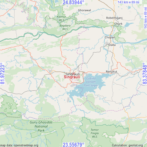
Singrauli GPS coordinates[2]
24° 11' 59.028" North, 82° 40' 31.26" East
| Map corner | latitude | longitude |
|---|---|---|
| Upper-left | 24.83944°, | 81.97223° |
| Center: | 24.19973°, | 82.67535° |
| Lower-right: | 23.55679°, | 83.37848° |
| Map W x H: | 142.6×142.6 km | = 88.6×88.6mi |
| max Lat: | 34.9274° ⇑40.9% North |
| Singrauli: | 24.19973° |
| min Lat: | ⇓59.1% South 8.09008° |
| min Long | Singrauli | max Long |
| 68.82655° | 82.67535° | 96.81° |
| W 78.4%⇐ | ⇒21.6% E |
Elevation
Elevation of Singrauli is 383 m = 1257 ft, and this is 87.4 m = 287 ft above average elevation for this country.
| Max E: |
3681 m = 12077 ft | 25.2% |
| Singrauli | 383 m 1257 ft | |
| Avg. | 295.6 m = 970 ft | |
Min E: |
1 m = 3 ft | 74.8% |
See also: Singrauli elevation on elevation.city.
Geographical zone
Singrauli is located in North temperate zone (between Tropic of Cancer and the Arctic Circle). Distance of this Northern Tropic circle is 84.8 km =52.7 mi to South.| Distance of | km | miles | from Singrauli |
|---|---|---|---|
| North Pole | 7316.3 | 4546.1 | to North |
| Arctic Circle | 4710.4 | 2926.9 | to North |
| Tropic Cancer | 84.8 | 52.7 | to South |
| Equator | 2690.8 | 1672 | to South |


Nearby cities:
15 places around Singrauli: (largest is in red/bold)
• Ahraura
97.7 km =60.7 mi,  21°
21°
• Baikunthpur
104.9 km =65.2 mi,  186°
186°
• Chakia
109.4 km =68 mi,  30°
30°
• Chopan
50 km =31.1 mi,  44°
44°
• Chorhat
105 km =65.2 mi,  283°
283°
• Chunār
105.3 km =65.4 mi,  11°
11°
• Dūdhi
57.4 km =35.7 mi,  88°
88°
• Ghorāwal
62.6 km =38.9 mi, 9°
• Kota
53.7 km =33.4 mi,  59°
59°
• Mauganj
96.4 km =59.9 mi,  302°
302°
• Mirzāpur
105.7 km =65.7 mi,  353°
353°
• Obra
39.9 km =24.8 mi,  52°
52°
• Renukūt
36.6 km =22.7 mi, 87°
• Robertsganj
67.3 km =41.8 mi, 36°
• Sidhi
83.8 km =52.1 mi,  285°
285°
Sources, notices
• [Note1] Compared only with cities in India existing in our database
• [Src1] Map data: © OpenStreetMap contributors (CC-BY-SA)
• [Src2] Other city data from geonames.org with taken over terms of usage.
• [Src3] Geographical zone / Annual Mean Temperature by Robert A. Rohde @ Wikipedia
