Virpur geodata
Virpur (Gujarat) is a populated place; located in India in Asia/Kolkata (GMT+5.5) time zone. With population of 8,866 people, there are 3052 cities with bigger population in this country. Compared to other cities in India, 52.8% of cities are located further ↓South; 92.6% of cities are located further →East and 66.8% of cities have higher elevation than Virpur. Note1


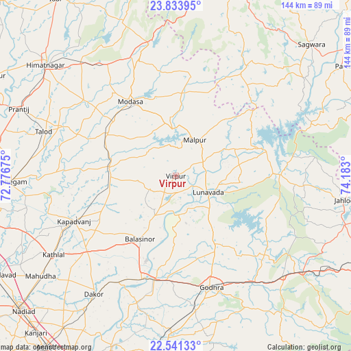
Virpur GPS coordinates[2]
23° 11' 21.12" North, 73° 28' 47.532" East
| Map corner | latitude | longitude |
|---|---|---|
| Upper-left | 23.83395°, | 72.77675° |
| Center: | 23.1892°, | 73.47987° |
| Lower-right: | 22.54133°, | 74.183° |
| Map W x H: | 143.7×143.7 km | = 89.3×89.3mi |
| max Lat: | 34.9274° ⇑47.2% North |
| Virpur: | 23.1892° |
| min Lat: | ⇓52.8% South 8.09008° |
| min Long | Virpur | max Long |
| 68.82655° | 73.47987° | 96.81° |
| W 7.4%⇐ | ⇒92.6% E |
Elevation
Elevation of Virpur is 107 m = 351 ft, and this is 188.6 m = 619 ft below average elevation for this country.
| Max E: |
3681 m = 12077 ft | 66.8% |
| Avg. | 295.6 m = 970 ft | |
| Virpur | 107 m = 351 ft | |
Min E: |
1 m = 3 ft | 33.2% |
See also: India elevation on elevation.city.
Geographical zone
Virpur is located in North Torrid zone (between Equator and Tropic of Cancer). Distance of this Northern Tropic circle is 27.5 km =17.1 mi to North.| Distance of | km | miles | from Virpur |
|---|---|---|---|
| North Pole | 7428.7 | 4616 | to North |
| Arctic Circle | 4822.8 | 2996.7 | to North |
| Tropic Cancer | 27.5 | 17.1 | to North |
| Equator | 2578.4 | 1602.1 | to South |


Nearby cities:
15 places around Virpur: (largest is in red/bold)
• Dahegām
67.3 km =41.8 mi,  268°
268°
• Dākor
59.1 km =36.7 mi,  214°
214°
• Galiākot
66.3 km =41.2 mi,  56°
56°
• Godhra
48 km =29.8 mi,  163°
163°
• Kapadvanj
45.7 km =28.4 mi,  246°
246°
• Kālol
64.7 km =40.2 mi,  181°
181°
• Lūnāvāda
15 km =9.3 mi,  116°
116°
• Mahudha
68.8 km =42.8 mi,  233°
233°
• Meghraj
34.5 km =21.4 mi,  5°
5°
• Modāsa
35.6 km =22.1 mi,  328°
328°
• Morwa
48.5 km =30.1 mi,  130°
130°
• Mālpur
19.1 km =11.9 mi,  355°
355°
• Thāsra
51.4 km =31.9 mi, 212°
• Umreth
66.1 km =41.1 mi, 214°
• Vejalpur
56.1 km =34.9 mi,  171°
171°
Sources, notices
• [Note1] Compared only with cities in India existing in our database
• [Src1] Map data: © OpenStreetMap contributors (CC-BY-SA)
• [Src2] Other city data from geonames.org with taken over terms of usage.
• [Src3] Geographical zone / Annual Mean Temperature by Robert A. Rohde @ Wikipedia
