Srivilliputhur geodata
Srivilliputhur (Tamil Nadu) is a populated place; located in India in Asia/Kolkata (GMT+5.5) time zone. With population of 74,370 people, there are 588 cities with bigger population in this country. Compared to other cities in India, 97.7% of cities are located further ↑North; 55.6% of cities are located further →East and 59.1% of cities have higher elevation than Srivilliputhur. Note1


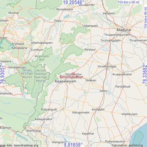
Srivilliputhur GPS coordinates[2]
9° 30' 45.792" North, 77° 38' 1.284" East
| Map corner | latitude | longitude |
|---|---|---|
| Upper-left | 10.20546°, | 76.93057° |
| Center: | 9.51272°, | 77.63369° |
| Lower-right: | 8.81858°, | 78.33682° |
| Map W x H: | 154.2×154.2 km | = 95.8×95.8mi |
| max Lat: | 34.9274° ⇑97.7% North |
| Srivilliputhur: | 9.51272° |
| min Lat: | ⇓2.3% South 8.09008° |
| min Long | Srivilliputhur | max Long |
| 68.82655° | 77.63369° | 96.81° |
| W 44.4%⇐ | ⇒55.6% E |
Elevation
Elevation of Srivilliputhur is 153 m = 502 ft, and this is 142.6 m = 468 ft below average elevation for this country.
| Max E: |
3681 m = 12077 ft | 59.1% |
| Avg. | 295.6 m = 970 ft | |
| Srivilliputhur | 153 m = 502 ft | |
Min E: |
1 m = 3 ft | 40.9% |
See also: Srivilliputhur elevation on elevation.city.
Geographical zone
Srivilliputhur is located in North Torrid zone (between Equator and Tropic of Cancer). Distance of Equator is 1057.7 km =657.2 mi to South.| Distance of | km | miles | from Srivilliputhur |
|---|---|---|---|
| North Pole | 8949.3 | 5560.8 | to North |
| Arctic Circle | 6343.5 | 3941.7 | to North |
| Tropic Cancer | 1548.2 | 962 | to North |
| Equator | 1057.7 | 657.2 | to South |


Nearby cities:
15 places around Srivilliputhur: (largest is in red/bold)
• Cholapuram
19.3 km =12 mi,  201°
201°
• Cumbum
45.6 km =28.3 mi,  303°
303°
• Elumalai
39.8 km =24.7 mi,  10°
10°
• Elāyirampannai
34.2 km =21.3 mi,  142°
142°
• Kallupatti
34.2 km =21.3 mi,  48°
48°
• Kalugumalai
41.2 km =25.6 mi,  168°
168°
• Peraiyur
30.1 km =18.7 mi,  34°
34°
• Puliyangudi
45.6 km =28.3 mi,  214°
214°
• Rajapalaiyam
11 km =6.8 mi,  232°
232°
• Sattur
36.4 km =22.6 mi,  118°
118°
• Sivagiri
29.2 km =18.1 mi, 230°
• Sivakasi
19.3 km =12 mi,  111°
111°
• Tiruttangal
22.1 km =13.7 mi,  98°
98°
• Virudunagar
36.4 km =22.6 mi,  77°
77°
• Vāsudevanallūr
38.7 km =24 mi,  218°
218°
Sources, notices
• [Note1] Compared only with cities in India existing in our database
• [Src1] Map data: © OpenStreetMap contributors (CC-BY-SA)
• [Src2] Other city data from geonames.org with taken over terms of usage.
• [Src3] Geographical zone / Annual Mean Temperature by Robert A. Rohde @ Wikipedia
