Sanivārsante geodata
Sanivārsante (Karnataka) is a populated place; located in India in Asia/Kolkata (GMT+5.5) time zone. With population of 4,432 people, there are 3361 cities with bigger population in this country. Compared to other cities in India, 87.7% of cities are located further ↑North; 74.8% of cities are located further →East and 96% of cities have lower elevation than Sanivārsante. Note1


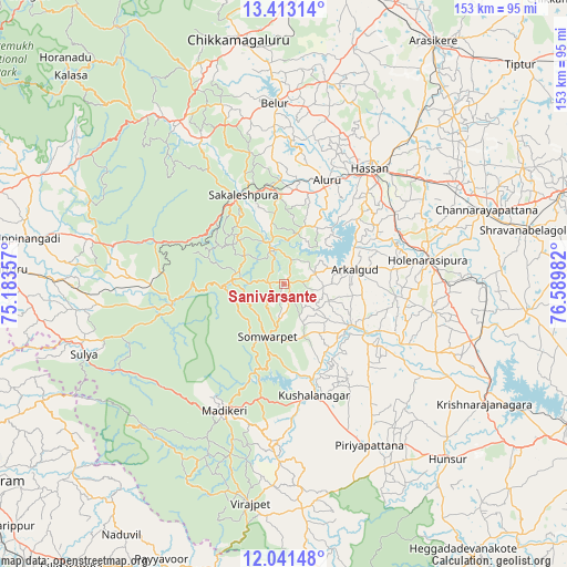
Sanivārsante GPS coordinates[2]
12° 43' 41.664" North, 75° 53' 12.084" East
| Map corner | latitude | longitude |
|---|---|---|
| Upper-left | 13.41314°, | 75.18357° |
| Center: | 12.72824°, | 75.88669° |
| Lower-right: | 12.04148°, | 76.58982° |
| Map W x H: | 152.5×152.5 km | = 94.8×94.8mi |
| max Lat: | 34.9274° ⇑87.7% North |
| Sanivārsante: | 12.72824° |
| min Lat: | ⇓12.3% South 8.09008° |
| min Long | Sanivārsante | max Long |
| 68.82655° | 75.88669° | 96.81° |
| W 25.2%⇐ | ⇒74.8% E |
Elevation
Elevation of Sanivārsante is 960 m = 3150 ft, and this is 664.4 m = 2180 ft above average elevation for this country.
| Max E: |
3681 m = 12077 ft | 4% |
| Sanivārsante | 960 m 3150 ft | |
| Avg. | 295.6 m = 970 ft | |
Min E: |
1 m = 3 ft | 96% |
See also: India elevation on elevation.city.
Geographical zone
Sanivārsante is located in North Torrid zone (between Equator and Tropic of Cancer). Distance of this Northern Tropic circle is 1190.7 km =739.9 mi to North.| Distance of | km | miles | from Sanivārsante |
|---|---|---|---|
| North Pole | 8591.8 | 5338.7 | to North |
| Arctic Circle | 5985.9 | 3719.5 | to North |
| Tropic Cancer | 1190.7 | 739.9 | to North |
| Equator | 1415.2 | 879.4 | to South |


Nearby cities:
15 places around Sanivārsante: (largest is in red/bold)
• Alūr
30 km =18.6 mi,  22°
22°
• Arkalgūd
19.2 km =11.9 mi,  78°
78°
• Belūr
48.7 km =30.3 mi,  357°
357°
• Gorūr
22 km =13.7 mi,  61°
61°
• Hassan
38.4 km =23.9 mi,  36°
36°
• Hole Narsipur
39.2 km =24.4 mi, 80°
• Kodlipet
8.1 km =5 mi, 359°
• Konanūr
20.8 km =12.9 mi,  121°
121°
• Kushālnagar
31.1 km =19.3 mi,  165°
165°
• Madikeri
37.3 km =23.2 mi,  205°
205°
• Mudgere
52.3 km =32.5 mi,  329°
329°
• Piriyāpatna
49.5 km =30.8 mi,  152°
152°
• Sakleshpur
26.1 km =16.2 mi, 334°
• Somvārpet
15.1 km =9.4 mi,  195°
195°
• Suntikoppa
30.9 km =19.2 mi,  191°
191°
Sources, notices
• [Note1] Compared only with cities in India existing in our database
• [Src1] Map data: © OpenStreetMap contributors (CC-BY-SA)
• [Src2] Other city data from geonames.org with taken over terms of usage.
• [Src3] Geographical zone / Annual Mean Temperature by Robert A. Rohde @ Wikipedia
