Rājgīr geodata
Rājgīr (Bihar) is a populated place; located in India in Asia/Kolkata (GMT+5.5) time zone. With population of 38,348 people, there are 1146 cities with bigger population in this country. Compared to other cities in India, 63.6% of cities are located further ↓South; 85.4% of cities are located further ←West and 71.8% of cities have higher elevation than Rājgīr. Note1


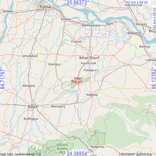
Rājgīr GPS coordinates[2]
25° 1' 41.808" North, 85° 25' 14.844" East
| Map corner | latitude | longitude |
|---|---|---|
| Upper-left | 25.66372°, | 84.71767° |
| Center: | 25.02828°, | 85.42079° |
| Lower-right: | 24.38954°, | 86.12392° |
| Map W x H: | 141.7×141.7 km | = 88×88mi |
| max Lat: | 34.9274° ⇑36.4% North |
| Rājgīr: | 25.02828° |
| min Lat: | ⇓63.6% South 8.09008° |
| min Long | Rājgīr | max Long |
| 68.82655° | 85.42079° | 96.81° |
| W 85.4%⇐ | ⇒14.6% E |
Elevation
Elevation of Rājgīr is 85 m = 279 ft, and this is 210.6 m = 691 ft below average elevation for this country.
| Max E: |
3681 m = 12077 ft | 71.8% |
| Avg. | 295.6 m = 970 ft | |
| Rājgīr | 85 m = 279 ft | |
Min E: |
1 m = 3 ft | 28.2% |
See also: India elevation on elevation.city.
Geographical zone
Rājgīr is located in North temperate zone (between Tropic of Cancer and the Arctic Circle). Distance of this Northern Tropic circle is 177 km =110 mi to South.| Distance of | km | miles | from Rājgīr |
|---|---|---|---|
| North Pole | 7224.2 | 4488.9 | to North |
| Arctic Circle | 4618.3 | 2869.7 | to North |
| Tropic Cancer | 177 | 110 | to South |
| Equator | 2782.9 | 1729.2 | to South |


Nearby cities:
15 places around Rājgīr: (largest is in red/bold)
• Bakhtiyārpur
49.5 km =30.8 mi,  13°
13°
• Bar Bigha
37.9 km =23.5 mi,  56°
56°
• Bihār Sharīf
21.8 km =13.5 mi,  28°
28°
• Fatwa
54.8 km =34.1 mi,  347°
347°
• Gaya
49.3 km =30.6 mi,  238°
238°
• Hilsa
34.9 km =21.7 mi,  336°
336°
• Hisuā
21.6 km =13.4 mi,  180°
180°
• Islāmpur
25 km =15.5 mi,  300°
300°
• Jahānābād
48.3 km =30 mi, 295°
• Khusropur
50.5 km =31.4 mi,  355°
355°
• Masaurhi Buzurg
53.3 km =33.1 mi,  312°
312°
• Nawāda
20 km =12.4 mi,  141°
141°
• Sheikhpura
44.1 km =27.4 mi,  73°
73°
• Silao
6.2 km =3.9 mi, 6°
• Wāris Alīganj
22.2 km =13.8 mi,  93°
93°
Sources, notices
• [Note1] Compared only with cities in India existing in our database
• [Src1] Map data: © OpenStreetMap contributors (CC-BY-SA)
• [Src2] Other city data from geonames.org with taken over terms of usage.
• [Src3] Geographical zone / Annual Mean Temperature by Robert A. Rohde @ Wikipedia
