Nādāpuram geodata
Nādāpuram (Kerala) is a populated place; located in India in Asia/Kolkata (GMT+5.5) time zone. With population of 39,512 people, there are 1119 cities with bigger population in this country. Compared to other cities in India, 90.7% of cities are located further ↑North; 76.9% of cities are located further →East and 87.2% of cities have higher elevation than Nādāpuram. Note1


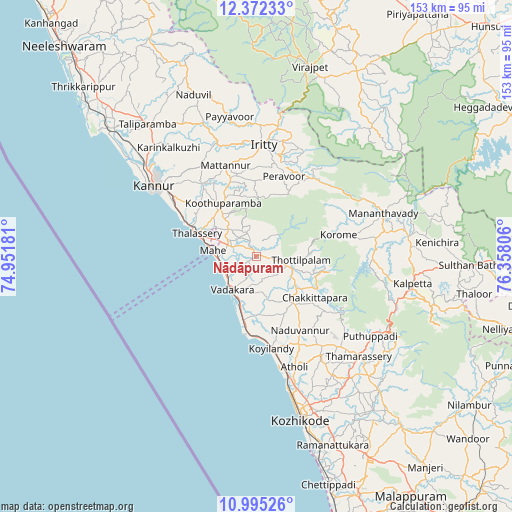
Nādāpuram GPS coordinates[2]
11° 41' 4.74" North, 75° 39' 17.748" East
| Map corner | latitude | longitude |
|---|---|---|
| Upper-left | 12.37233°, | 74.95181° |
| Center: | 11.68465°, | 75.65493° |
| Lower-right: | 10.99526°, | 76.35806° |
| Map W x H: | 153.1×153.1 km | = 95.1×95.1mi |
| max Lat: | 34.9274° ⇑90.7% North |
| Nādāpuram: | 11.68465° |
| min Lat: | ⇓9.3% South 8.09008° |
| min Long | Nādāpuram | max Long |
| 68.82655° | 75.65493° | 96.81° |
| W 23.1%⇐ | ⇒76.9% E |
Elevation
Elevation of Nādāpuram is 24 m = 79 ft, and this is 271.6 m = 891 ft below average elevation for this country.
| Max E: |
3681 m = 12077 ft | 87.2% |
| Avg. | 295.6 m = 970 ft | |
| Nādāpuram | 24 m = 79 ft | |
Min E: |
1 m = 3 ft | 12.8% |
See also: India elevation on elevation.city.
Geographical zone
Nādāpuram is located in North Torrid zone (between Equator and Tropic of Cancer). Distance of Equator is 1299.2 km =807.3 mi to South.| Distance of | km | miles | from Nādāpuram |
|---|---|---|---|
| North Pole | 8707.9 | 5410.8 | to North |
| Arctic Circle | 6102 | 3791.6 | to North |
| Tropic Cancer | 1306.7 | 811.9 | to North |
| Equator | 1299.2 | 807.3 | to South |


Nearby cities:
15 places around Nādāpuram: (largest is in red/bold)
• Azhikkal
42.1 km =26.2 mi,  307°
307°
• Badagara
12.5 km =7.8 mi,  219°
219°
• Dharmadam
23 km =14.3 mi,  295°
295°
• Iringal
14.5 km =9 mi,  196°
196°
• Kalpatta
47.4 km =29.5 mi,  100°
100°
• Kannavam
17.8 km =11.1 mi,  2°
2°
• Kannur
38.2 km =23.7 mi, 302°
• Mahē
13.2 km =8.2 mi,  278°
278°
• Mattanur
28.8 km =17.9 mi,  341°
341°
• Muluppilagadu
25.5 km =15.8 mi, 299°
• Naduvannūr
25.5 km =15.8 mi,  149°
149°
• Panamaram
46 km =28.6 mi,  82°
82°
• Perya
27.3 km =17 mi,  52°
52°
• Pāppinisshēri
45.7 km =28.4 mi, 311°
• Tellicherry
19 km =11.8 mi,  291°
291°
Sources, notices
• [Note1] Compared only with cities in India existing in our database
• [Src1] Map data: © OpenStreetMap contributors (CC-BY-SA)
• [Src2] Other city data from geonames.org with taken over terms of usage.
• [Src3] Geographical zone / Annual Mean Temperature by Robert A. Rohde @ Wikipedia
