Kachhwa geodata
Kachhwa (Uttar Pradesh) is a populated place; located in India in Asia/Kolkata (GMT+5.5) time zone. With population of 15,381 people, there are 2426 cities with bigger population in this country. Compared to other cities in India, 64.5% of cities are located further ↓South; 78.6% of cities are located further ←West and 72.5% of cities have higher elevation than Kachhwa. Note1


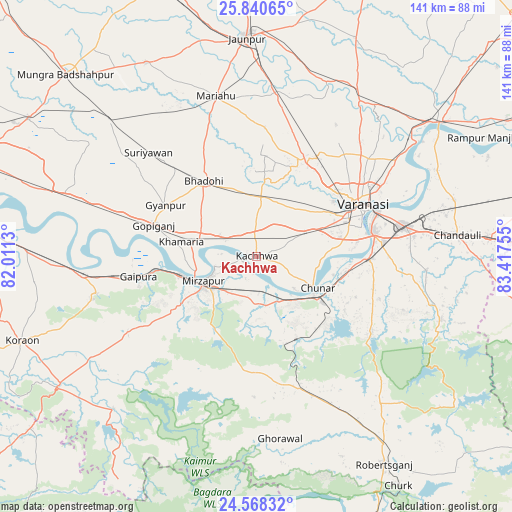
Kachhwa GPS coordinates[2]
25° 12' 22.14" North, 82° 42' 51.912" East
| Map corner | latitude | longitude |
|---|---|---|
| Upper-left | 25.84065°, | 82.0113° |
| Center: | 25.20615°, | 82.71442° |
| Lower-right: | 24.56832°, | 83.41755° |
| Map W x H: | 141.5×141.5 km | = 87.9×87.9mi |
| max Lat: | 34.9274° ⇑35.5% North |
| Kachhwa: | 25.20615° |
| min Lat: | ⇓64.5% South 8.09008° |
| min Long | Kachhwa | max Long |
| 68.82655° | 82.71442° | 96.81° |
| W 78.6%⇐ | ⇒21.4% E |
Elevation
Elevation of Kachhwa is 82 m = 269 ft, and this is 213.6 m = 701 ft below average elevation for this country.
| Max E: |
3681 m = 12077 ft | 72.5% |
| Avg. | 295.6 m = 970 ft | |
| Kachhwa | 82 m = 269 ft | |
Min E: |
1 m = 3 ft | 27.5% |
See also: India elevation on elevation.city.
Geographical zone
Kachhwa is located in North temperate zone (between Tropic of Cancer and the Arctic Circle). Distance of this Northern Tropic circle is 196.7 km =122.2 mi to South.| Distance of | km | miles | from Kachhwa |
|---|---|---|---|
| North Pole | 7204.4 | 4476.6 | to North |
| Arctic Circle | 4598.5 | 2857.4 | to North |
| Tropic Cancer | 196.7 | 122.2 | to South |
| Equator | 2802.7 | 1741.5 | to South |


Nearby cities:
15 places around Kachhwa: (largest is in red/bold)
• Ahraura
38.4 km =23.9 mi,  123°
123°
• Barāgaon
26.9 km =16.7 mi,  22°
22°
• Bhadohi
25.5 km =15.8 mi,  325°
325°
• Chakia
54 km =33.6 mi,  108°
108°
• Chunār
19 km =11.8 mi, 117°
• Ghorāwal
50.6 km =31.4 mi,  172°
172°
• Gyānpur
28.6 km =17.8 mi,  299°
299°
• Kirākat
52.1 km =32.4 mi, 22°
• Mariāhu
45.6 km =28.3 mi,  345°
345°
• Mirzāpur
16.5 km =10.3 mi,  245°
245°
• Mughal Sarāi
41.6 km =25.8 mi,  78°
78°
• Rāmnagar
32.5 km =20.2 mi, 77°
• Suriānwān
41.2 km =25.6 mi,  314°
314°
• Varanasi
32.2 km =20 mi,  67°
67°
• Zafarābād
54.8 km =34.1 mi,  2°
2°
Sources, notices
• [Note1] Compared only with cities in India existing in our database
• [Src1] Map data: © OpenStreetMap contributors (CC-BY-SA)
• [Src2] Other city data from geonames.org with taken over terms of usage.
• [Src3] Geographical zone / Annual Mean Temperature by Robert A. Rohde @ Wikipedia
