Goshāīnganj geodata
Goshāīnganj (Uttar Pradesh) is a populated place; located in India in Asia/Kolkata (GMT+5.5) time zone. With population of 9,537 people, there are 2991 cities with bigger population in this country. Compared to other cities in India, 76.6% of cities are located further ↓South; 73.3% of cities are located further ←West and 64.8% of cities have higher elevation than Goshāīnganj. Note1


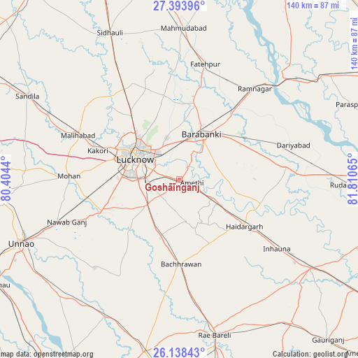
Goshāīnganj GPS coordinates[2]
26° 46' 4.548" North, 81° 6' 27.072" East
| Map corner | latitude | longitude |
|---|---|---|
| Upper-left | 27.39396°, | 80.4044° |
| Center: | 26.76793°, | 81.10752° |
| Lower-right: | 26.13843°, | 81.81065° |
| Map W x H: | 139.6×139.6 km | = 86.7×86.7mi |
| max Lat: | 34.9274° ⇑23.4% North |
| Goshāīnganj: | 26.76793° |
| min Lat: | ⇓76.6% South 8.09008° |
| min Long | Goshāīnganj | max Long |
| 68.82655° | 81.10752° | 96.81° |
| W 73.3%⇐ | ⇒26.7% E |
Elevation
Elevation of Goshāīnganj is 121 m = 397 ft, and this is 174.6 m = 573 ft below average elevation for this country.
| Max E: |
3681 m = 12077 ft | 64.8% |
| Avg. | 295.6 m = 970 ft | |
| Goshāīnganj | 121 m = 397 ft | |
Min E: |
1 m = 3 ft | 35.2% |
See also: India elevation on elevation.city.
Geographical zone
Goshāīnganj is located in North temperate zone (between Tropic of Cancer and the Arctic Circle). Distance of this Northern Tropic circle is 370.4 km =230.2 mi to South.| Distance of | km | miles | from Goshāīnganj |
|---|---|---|---|
| North Pole | 7030.7 | 4368.7 | to North |
| Arctic Circle | 4424.9 | 2749.5 | to North |
| Tropic Cancer | 370.4 | 230.2 | to South |
| Equator | 2976.3 | 1849.4 | to South |


Nearby cities:
15 places around Goshāīnganj: (largest is in red/bold)
• Bachhrāwān
33 km =20.5 mi,  178°
178°
• Dewā
30.4 km =18.9 mi,  11°
11°
• Fatehpur
46.2 km =28.7 mi, 12°
• Itaunja
40.8 km =25.4 mi,  329°
329°
• Kākori
33.8 km =21 mi,  289°
289°
• Lucknow
19.9 km =12.4 mi, 293°
• Mahārājganj
46.1 km =28.6 mi,  158°
158°
• Malīhābād
42.9 km =26.7 mi, 293°
• Maurānwān
44 km =27.3 mi,  210°
210°
• Mohān
43 km =26.7 mi,  271°
271°
• Nagrām
16.9 km =10.5 mi,  168°
168°
• Nawābganj
20.3 km =12.6 mi,  26°
26°
• Rāmnagar
46 km =28.6 mi,  39°
39°
• Satrikh
13.5 km =8.4 mi, 40°
• Zaidpur
23.1 km =14.4 mi,  72°
72°
Sources, notices
• [Note1] Compared only with cities in India existing in our database
• [Src1] Map data: © OpenStreetMap contributors (CC-BY-SA)
• [Src2] Other city data from geonames.org with taken over terms of usage.
• [Src3] Geographical zone / Annual Mean Temperature by Robert A. Rohde @ Wikipedia
