Pānchgani geodata
Pānchgani (Maharashtra) is a populated place; located in India in Asia/Kolkata (GMT+5.5) time zone. With population of 14,400 people, there are 2521 cities with bigger population in this country. Compared to other cities in India, 71.9% of cities are located further ↑North; 91.2% of cities are located further →East and 97% of cities have lower elevation than Pānchgani. Note1


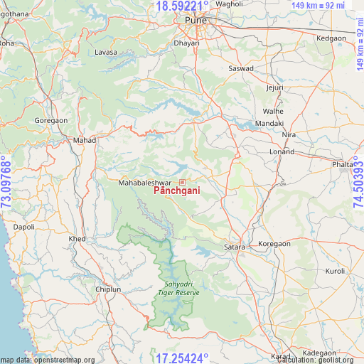
Pānchgani GPS coordinates[2]
17° 55' 28.164" North, 73° 48' 2.88" East
| Map corner | latitude | longitude |
|---|---|---|
| Upper-left | 18.59221°, | 73.09768° |
| Center: | 17.92449°, | 73.8008° |
| Lower-right: | 17.25424°, | 74.50393° |
| Map W x H: | 148.8×148.8 km | = 92.5×92.5mi |
| max Lat: | 34.9274° ⇑71.9% North |
| Pānchgani: | 17.92449° |
| min Lat: | ⇓28.1% South 8.09008° |
| min Long | Pānchgani | max Long |
| 68.82655° | 73.8008° | 96.81° |
| W 8.8%⇐ | ⇒91.2% E |
Elevation
Elevation of Pānchgani is 1263 m = 4144 ft, and this is 967.4 m = 3174 ft above average elevation for this country.
| Max E: |
3681 m = 12077 ft | 3% |
| Pānchgani | 1263 m 4144 ft | |
| Avg. | 295.6 m = 970 ft | |
Min E: |
1 m = 3 ft | 97% |
See also: India elevation on elevation.city.
Geographical zone
Pānchgani is located in North Torrid zone (between Equator and Tropic of Cancer). Distance of this Northern Tropic circle is 612.9 km =380.8 mi to North.| Distance of | km | miles | from Pānchgani |
|---|---|---|---|
| North Pole | 8014 | 4979.7 | to North |
| Arctic Circle | 5408.2 | 3360.5 | to North |
| Tropic Cancer | 612.9 | 380.8 | to North |
| Equator | 1993 | 1238.4 | to South |


Nearby cities:
15 places around Pānchgani: (largest is in red/bold)
• Bhor
25.3 km =15.7 mi,  10°
10°
• Chiplūn
53.3 km =33.1 mi,  215°
215°
• Goregaon
59.6 km =37 mi,  295°
295°
• Jejūri
54.5 km =33.9 mi,  44°
44°
• Kharakvasla
57.4 km =35.7 mi,  357°
357°
• Khed
46.2 km =28.7 mi, 6°
• Khed
48.5 km =30.1 mi,  241°
241°
• Koynanagar
58.4 km =36.3 mi,  183°
183°
• Mahābaleshwar
58.7 km =36.5 mi,  226°
226°
• Mahād
44.3 km =27.5 mi,  293°
293°
• Rahimatpur
56.1 km =34.9 mi,  131°
131°
• Satara
33.5 km =20.8 mi,  142°
142°
• Shirwal
31.3 km =19.4 mi, 36°
• Sāsvad
52.6 km =32.7 mi,  27°
27°
• Wai
10 km =6.2 mi,  71°
71°
Sources, notices
• [Note1] Compared only with cities in India existing in our database
• [Src1] Map data: © OpenStreetMap contributors (CC-BY-SA)
• [Src2] Other city data from geonames.org with taken over terms of usage.
• [Src3] Geographical zone / Annual Mean Temperature by Robert A. Rohde @ Wikipedia
