Chāndpur geodata
Chāndpur (Uttar Pradesh) is a populated place; located in India in Asia/Kolkata (GMT+5.5) time zone. With population of 73,555 people, there are 598 cities with bigger population in this country. Compared to other cities in India, 89.4% of cities are located further ↓South; 52.1% of cities are located further ←West and 56.2% of cities have lower elevation than Chāndpur. Note1


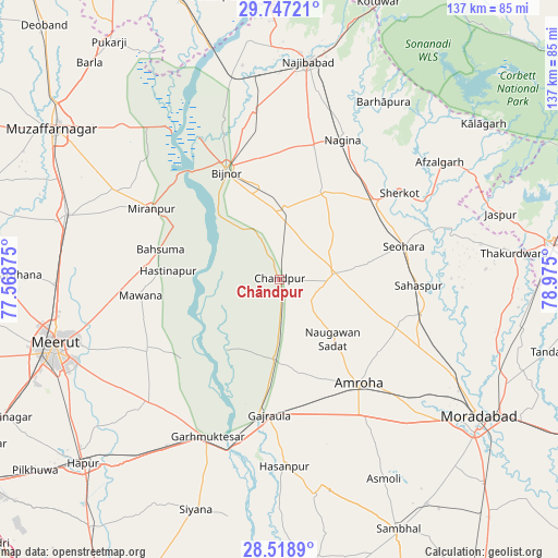
Chāndpur GPS coordinates[2]
29° 8' 5.604" North, 78° 16' 18.732" East
| Map corner | latitude | longitude |
|---|---|---|
| Upper-left | 29.74721°, | 77.56875° |
| Center: | 29.13489°, | 78.27187° |
| Lower-right: | 28.5189°, | 78.975° |
| Map W x H: | 136.6×136.6 km | = 84.9×84.9mi |
| max Lat: | 34.9274° ⇑10.6% North |
| Chāndpur: | 29.13489° |
| min Lat: | ⇓89.4% South 8.09008° |
| min Long | Chāndpur | max Long |
| 68.82655° | 78.27187° | 96.81° |
| W 52.1%⇐ | ⇒47.9% E |
Elevation
Elevation of Chāndpur is 231 m = 758 ft, and this is 64.6 m = 212 ft below average elevation for this country.
| Max E: |
3681 m = 12077 ft | 43.8% |
| Avg. | 295.6 m = 970 ft | |
| Chāndpur | 231 m = 758 ft | |
Min E: |
1 m = 3 ft | 56.2% |
See also: Chāndpur elevation on elevation.city.
Geographical zone
Chāndpur is located in North temperate zone (between Tropic of Cancer and the Arctic Circle). Distance of this Northern Tropic circle is 633.6 km =393.7 mi to South.| Distance of | km | miles | from Chāndpur |
|---|---|---|---|
| North Pole | 6767.6 | 4205.2 | to North |
| Arctic Circle | 4161.7 | 2586 | to North |
| Tropic Cancer | 633.6 | 393.7 | to South |
| Equator | 3239.5 | 2012.9 | to South |


Nearby cities:
15 places around Chāndpur: (largest is in red/bold)
• Amroha
32.2 km =20 mi,  143°
143°
• Bachhraon
23.4 km =14.5 mi,  188°
188°
• Bahsūma
30 km =18.6 mi,  284°
284°
• Bijnor
29.6 km =18.4 mi,  333°
333°
• Dhanaura
19.6 km =12.2 mi,  184°
184°
• Dhāmpur
30.2 km =18.8 mi,  50°
50°
• Gajraula
32.3 km =20.1 mi, 185°
• Haldaur
17.3 km =10.7 mi,  4°
4°
• Hastināpur
25.8 km =16 mi, 276°
• Jhālu
22.8 km =14.2 mi,  348°
348°
• Nihtaur
23.8 km =14.8 mi,  28°
28°
• Nūrpur
13.4 km =8.3 mi,  82°
82°
• Sahaspur
34.1 km =21.2 mi,  92°
92°
• Seohāra
31.8 km =19.8 mi,  74°
74°
• Tājpur
20.9 km =13 mi, 81°
Sources, notices
• [Note1] Compared only with cities in India existing in our database
• [Src1] Map data: © OpenStreetMap contributors (CC-BY-SA)
• [Src2] Other city data from geonames.org with taken over terms of usage.
• [Src3] Geographical zone / Annual Mean Temperature by Robert A. Rohde @ Wikipedia
