Bīkaner geodata
Bīkaner (Rajasthan) is a populated place; located in India in Asia/Kolkata (GMT+5.5) time zone. With population of 576,015 people, there are 75 cities with bigger population in this country. Compared to other cities in India, 84.5% of cities are located further ↓South; 93.3% of cities are located further →East and 55.8% of cities have lower elevation than Bīkaner. Note1


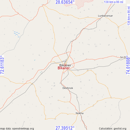
Bīkaner GPS coordinates[2]
28° 1' 3.432" North, 73° 18' 53.82" East
| Map corner | latitude | longitude |
|---|---|---|
| Upper-left | 28.63654°, | 72.61183° |
| Center: | 28.01762°, | 73.31495° |
| Lower-right: | 27.39512°, | 74.01808° |
| Map W x H: | 138×138 km | = 85.7×85.7mi |
| max Lat: | 34.9274° ⇑15.5% North |
| Bīkaner: | 28.01762° |
| min Lat: | ⇓84.5% South 8.09008° |
| min Long | Bīkaner | max Long |
| 68.82655° | 73.31495° | 96.81° |
| W 6.7%⇐ | ⇒93.3% E |
Elevation
Elevation of Bīkaner is 229 m = 751 ft, and this is 66.6 m = 219 ft below average elevation for this country.
| Max E: |
3681 m = 12077 ft | 44.2% |
| Avg. | 295.6 m = 970 ft | |
| Bīkaner | 229 m = 751 ft | |
Min E: |
1 m = 3 ft | 55.8% |
See also: Bīkaner elevation on elevation.city.
Geographical zone
Bīkaner is located in North temperate zone (between Tropic of Cancer and the Arctic Circle). Distance of this Northern Tropic circle is 509.3 km =316.5 mi to South.| Distance of | km | miles | from Bīkaner |
|---|---|---|---|
| North Pole | 6891.8 | 4282.4 | to North |
| Arctic Circle | 4285.9 | 2663.1 | to North |
| Tropic Cancer | 509.3 | 316.5 | to South |
| Equator | 3115.3 | 1935.8 | to South |


Nearby cities:
15 places around Bīkaner: (largest is in red/bold)
• Anūpgarh
130.9 km =81.3 mi,  355°
355°
• Basni
99.5 km =61.8 mi,  160°
160°
• Bhādāsar
101.1 km =62.8 mi,  70°
70°
• Chhāpar
112.7 km =70 mi,  101°
101°
• Deshnoke
24.5 km =15.2 mi,  173°
173°
• Lādnūn
114.1 km =70.9 mi,  110°
110°
• Mūndwa
117.4 km =72.9 mi,  154°
154°
• Napāsar
24.8 km =15.4 mi, 104°
• Nokha
53 km =32.9 mi, 163°
• Nāgaur
99.6 km =61.9 mi, 155°
• Ratangarh
128.1 km =79.6 mi,  86°
86°
• Rājaldesar
113.8 km =70.7 mi, 89°
• Sardārshahr
124.4 km =77.3 mi, 67°
• Sri Dūngargarh
68.6 km =42.6 mi,  82°
82°
• Sūjāngarh
118.6 km =73.7 mi, 107°
Sources, notices
• [Note1] Compared only with cities in India existing in our database
• [Src1] Map data: © OpenStreetMap contributors (CC-BY-SA)
• [Src2] Other city data from geonames.org with taken over terms of usage.
• [Src3] Geographical zone / Annual Mean Temperature by Robert A. Rohde @ Wikipedia
