Bhongīr geodata
Bhongīr (Telangana) is a seat of a second-order administrative division; located in India in Asia/Kolkata (GMT+5.5) time zone. With population of 50,094 people, there are 887 cities with bigger population in this country. Compared to other cities in India, 73.2% of cities are located further ↑North; 58% of cities are located further ←West and 78.7% of cities have lower elevation than Bhongīr. Note1


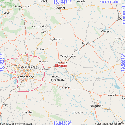
Bhongīr GPS coordinates[2]
17° 30' 55.584" North, 78° 53' 8.268" East
| Map corner | latitude | longitude |
|---|---|---|
| Upper-left | 18.18471°, | 78.18251° |
| Center: | 17.51544°, | 78.88563° |
| Lower-right: | 16.84369°, | 79.58876° |
| Map W x H: | 149.1×149.1 km | = 92.6×92.6mi |
| max Lat: | 34.9274° ⇑73.2% North |
| Bhongīr: | 17.51544° |
| min Lat: | ⇓26.8% South 8.09008° |
| min Long | Bhongīr | max Long |
| 68.82655° | 78.88563° | 96.81° |
| W 58%⇐ | ⇒42% E |
Elevation
Elevation of Bhongīr is 442 m = 1450 ft, and this is 146.4 m = 480 ft above average elevation for this country.
| Max E: |
3681 m = 12077 ft | 21.3% |
| Bhongīr | 442 m 1450 ft | |
| Avg. | 295.6 m = 970 ft | |
Min E: |
1 m = 3 ft | 78.7% |
See also: Bhongīr elevation on elevation.city.
Geographical zone
Bhongīr is located in North Torrid zone (between Equator and Tropic of Cancer). Distance of this Northern Tropic circle is 658.4 km =409.1 mi to North.| Distance of | km | miles | from Bhongīr |
|---|---|---|---|
| North Pole | 8059.5 | 5007.9 | to North |
| Arctic Circle | 5453.6 | 3388.7 | to North |
| Tropic Cancer | 658.4 | 409.1 | to North |
| Equator | 1947.5 | 1210.1 | to South |


Nearby cities:
15 places around Bhongīr: (largest is in red/bold)
• Bālāpur
46.9 km =29.1 mi,  240°
240°
• Gaddi Annaram
41.7 km =25.9 mi,  246°
246°
• Ghatkesar
22.6 km =14 mi, 251°
• Gūdūr
7.1 km =4.4 mi, 248°
• Hyderabad
47.8 km =29.7 mi, 252°
• Jangaon
36.7 km =22.8 mi,  50°
50°
• Kūkatpalli
50.2 km =31.2 mi,  266°
266°
• Lal Bahadur Nagar
39.5 km =24.5 mi, 241°
• Malkajgiri
38.8 km =24.1 mi,  258°
258°
• Medchal
44.7 km =27.8 mi,  286°
286°
• Nalgonda
65.3 km =40.6 mi,  141°
141°
• Quthbullapur
45.4 km =28.2 mi, 267°
• Secunderabad
36.4 km =22.6 mi, 268°
• Serilingampalle
61.9 km =38.5 mi, 267°
• Uppal Kalan
36.7 km =22.8 mi, 250°
Sources, notices
• [Note1] Compared only with cities in India existing in our database
• [Src1] Map data: © OpenStreetMap contributors (CC-BY-SA)
• [Src2] Other city data from geonames.org with taken over terms of usage.
• [Src3] Geographical zone / Annual Mean Temperature by Robert A. Rohde @ Wikipedia
