Beldānga geodata
Beldānga (West Bengal) is a populated place; located in India in Asia/Kolkata (GMT+5.5) time zone. With population of 27,489 people, there are 1567 cities with bigger population in this country. Compared to other cities in India, 57.9% of cities are located further ↓South; 92.4% of cities are located further ←West and 88.9% of cities have higher elevation than Beldānga. Note1


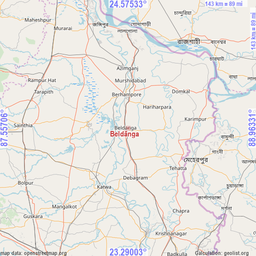
Beldānga GPS coordinates[2]
23° 56' 3.408" North, 88° 15' 36.648" East
| Map corner | latitude | longitude |
|---|---|---|
| Upper-left | 24.57533°, | 87.55706° |
| Center: | 23.93428°, | 88.26018° |
| Lower-right: | 23.29003°, | 88.96331° |
| Map W x H: | 142.9×142.9 km | = 88.8×88.8mi |
| max Lat: | 34.9274° ⇑42.1% North |
| Beldānga: | 23.93428° |
| min Lat: | ⇓57.9% South 8.09008° |
| min Long | Beldānga | max Long |
| 68.82655° | 88.26018° | 96.81° |
| W 92.4%⇐ | ⇒7.6% E |
Elevation
Elevation of Beldānga is 20 m = 66 ft, and this is 275.6 m = 904 ft below average elevation for this country.
| Max E: |
3681 m = 12077 ft | 88.9% |
| Avg. | 295.6 m = 970 ft | |
| Beldānga | 20 m = 66 ft | |
Min E: |
1 m = 3 ft | 11.1% |
See also: India elevation on elevation.city.
Geographical zone
Beldānga is located in North temperate zone (between Tropic of Cancer and the Arctic Circle). Distance of this Northern Tropic circle is 55.3 km =34.4 mi to South.| Distance of | km | miles | from Beldānga |
|---|---|---|---|
| North Pole | 7345.8 | 4564.5 | to North |
| Arctic Circle | 4739.9 | 2945.2 | to North |
| Tropic Cancer | 55.3 | 34.4 | to South |
| Equator | 2661.2 | 1653.6 | to South |


Nearby cities:
15 places around Beldānga: (largest is in red/bold)
• Ahmadpur
59.5 km =37 mi,  258°
258°
• Baharampur
19 km =11.8 mi,  357°
357°
• Debīpur
50.6 km =31.4 mi,  45°
45°
• Jangipur
62.4 km =38.8 mi,  342°
342°
• Karīmpur
36.8 km =22.9 mi,  82°
82°
• Kāndi
22.5 km =14 mi,  277°
277°
• Kātoya
34.6 km =21.5 mi,  202°
202°
• Lālgola
54.3 km =33.7 mi, 359°
• Muragācha
46.3 km =28.8 mi,  162°
162°
• Murshidābād
27.8 km =17.3 mi,  2°
2°
• Nalhāti
59.5 km =37 mi,  312°
312°
• Navadwīp
59.7 km =37.1 mi,  169°
169°
• Pātuli
42.4 km =26.3 mi,  179°
179°
• Rampur Hat
55.5 km =34.5 mi,  299°
299°
• Sainthia
58.9 km =36.6 mi,  271°
271°
Sources, notices
• [Note1] Compared only with cities in India existing in our database
• [Src1] Map data: © OpenStreetMap contributors (CC-BY-SA)
• [Src2] Other city data from geonames.org with taken over terms of usage.
• [Src3] Geographical zone / Annual Mean Temperature by Robert A. Rohde @ Wikipedia
