Galūgāh geodata
Galūgāh (Māzandarān) is a seat of a second-order administrative division; located in Iran in Asia/Tehran (GMT+3.5) time zone. In our database, there are 232 cities with bigger population. Compared to other cities in Iran, 78.7% of cities are located further ↓South; 70.5% of cities are located further ←West and 86.8% of cities have higher elevation than Galūgāh. Note1


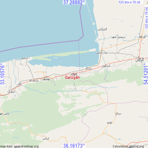
Galūgāh GPS coordinates[2]
36° 43' 38.424" North, 53° 48' 31.968" East
| Map corner | latitude | longitude |
|---|---|---|
| Upper-left | 37.28882°, | 53.10576° |
| Center: | 36.72734°, | 53.80888° |
| Lower-right: | 36.16173°, | 54.51201° |
| Map W x H: | 125.3×125.3 km | = 77.9×77.9mi |
| max Lat: | 39.6482° ⇑21.3% North |
| Galūgāh: | 36.72734° |
| min Lat: | ⇓78.7% South 25.2919° |
| min Long | Galūgāh | max Long |
| 44.38416° | 53.80888° | 61.9965° |
| W 70.5%⇐ | ⇒29.5% E |
Elevation
Elevation of Galūgāh is 34 m = 112 ft, and this is 1015 m = 3330 ft below average elevation for this country.
| Max E: |
2564 m = 8412 ft | 86.8% |
| Avg. | 1049 m = 3442 ft | |
| Galūgāh | 34 m = 112 ft | |
Min E: |
-24 m = -79 ft | 13.2% |
See also: Iran elevation on elevation.city.
Geographical zone
Galūgāh is located in North temperate zone (between Tropic of Cancer and the Arctic Circle). Distance of this Northern Tropic circle is 1477.8 km =918.3 mi to South.| Distance of | km | miles | from Galūgāh |
|---|---|---|---|
| North Pole | 5923.4 | 3680.6 | to North |
| Arctic Circle | 3317.5 | 2061.4 | to North |
| Tropic Cancer | 1477.8 | 918.3 | to South |
| Equator | 4083.7 | 2537.5 | to South |


Nearby cities:
15 places around Galūgāh: (largest is in red/bold)
• Bandar-e Gaz
13.4 km =8.3 mi,  67°
67°
• Bandar-e Torkaman
30.4 km =18.9 mi,  50°
50°
• Behshahr
23.2 km =14.4 mi,  260°
260°
• Dāmghān
78.4 km =48.7 mi,  142°
142°
• Gomīshān
45.1 km =28 mi,  31°
31°
• Gorgān
58 km =36 mi,  77°
77°
• Jūybār
80.5 km =50 mi, 263°
• Kord Kūy
28 km =17.4 mi, 74°
• Nekā
46.2 km =28.7 mi, 259°
• Pol-e Sefīd
95.6 km =59.4 mi,  224°
224°
• Qarnābād
70.6 km =43.9 mi, 81°
• Qā’em Shahr
86.4 km =53.7 mi,  251°
251°
• Sari
69.2 km =43 mi, 254°
• Sūrak
55.6 km =34.5 mi, 254°
• Āq Qalā
65.7 km =40.8 mi,  60°
60°
Sources, notices
• [Note1] Compared only with cities in Iran existing in our database
• [Src1] Map data: © OpenStreetMap contributors (CC-BY-SA)
• [Src2] Other city data from geonames.org with taken over terms of usage.
• [Src3] Geographical zone / Annual Mean Temperature by Robert A. Rohde @ Wikipedia
