Pagliarelle geodata
Pagliarelle (Calabria) is a populated place; located in Italy in Europe/Rome (GMT+2) time zone. With population of 1,277 people, there are 5707 cities with bigger population in this country. Compared to other cities in Italy, 92.1% of cities are located further ↑North; 97.4% of cities are located further ←West and 93.9% of cities have lower elevation than Pagliarelle. Note1
Administrative division(s):
- Level 1: Calabria
- Level 2: Provincia di Crotone
- Level 3: Petilia Policastro


Pagliarelle GPS coordinates[2]
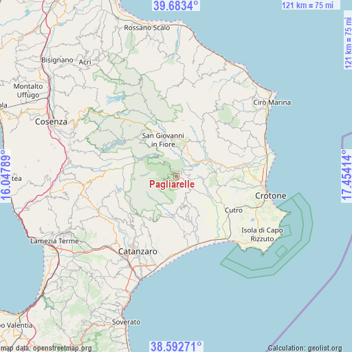
39° 8' 24.612" North, 16° 45' 3.636" East
| Map corner | latitude | longitude |
|---|---|---|
| Upper-left | 39.6834°, | 16.04789° |
| Center: | 39.14017°, | 16.75101° |
| Lower-right: | 38.59271°, | 17.45414° |
| Map W x H: | 121.3×121.3 km | = 75.4×75.4mi |
| max Lat: | 47.04031° ⇑92.1% North |
| Pagliarelle: | 39.14017° |
| min Lat: | ⇓7.9% South 35.50142° |
| min Long | Pagliarelle | max Long |
| 6.69888° | 16.75101° | 18.48682° |
| W 97.4%⇐ | ⇒2.6% E |
Elevation
Elevation of Pagliarelle is 834 m = 2736 ft, and this is 527.3 m = 1730 ft above average elevation for this country.
| Max E: |
2085 m = 6841 ft | 6.1% |
| Pagliarelle | 834 m 2736 ft | |
| Avg. | 306.7 m = 1006 ft | |
Min E: |
-4 m = -13 ft | 93.9% |
See also: Italy elevation on elevation.city.
Geographical zone
Pagliarelle is located in North temperate zone (between Tropic of Cancer and the Arctic Circle). Distance of this Northern Tropic circle is 1746.1 km =1085 mi to South.| Distance of | km | miles | from Pagliarelle |
|---|---|---|---|
| North Pole | 5655.1 | 3513.9 | to North |
| Arctic Circle | 3049.2 | 1894.7 | to North |
| Tropic Cancer | 1746.1 | 1085 | to South |
| Equator | 4352 | 2704.2 | to South |


Nearby cities:
15 places around Pagliarelle: (largest is in red/bold)
• Andali
14.2 km =8.8 mi,  173°
173°
• Belcastro
13.9 km =8.6 mi, 167°
• Belvedere Spinello
14.3 km =8.9 mi,  58°
58°
• Caccuri
9.8 km =6.1 mi,  13°
13°
• Castelsilano
14.4 km =8.9 mi, 5°
• Cerenzia
12.1 km =7.5 mi,  15°
15°
• Cerva
12.9 km =8 mi,  182°
182°
• Cotronei
3.1 km =1.9 mi,  46°
46°
• Foresta
7 km =4.3 mi,  130°
130°
• Mesoraca
7.5 km =4.7 mi,  154°
154°
• Petilia Policastro
4 km =2.5 mi,  138°
138°
• Petronà
10.7 km =6.6 mi, 176°
• Roccabernarda
9.5 km =5.9 mi,  94°
94°
• San Giovanni in Fiore
13.5 km =8.4 mi,  339°
339°
• Santa Severina
13.8 km =8.6 mi, 86°
Sources, notices
• [Note1] Compared only with cities in Italy existing in our database
• [Src1] Map data: © OpenStreetMap contributors (CC-BY-SA)
• [Src2] Other city data from geonames.org with taken over terms of usage.
• [Src3] Geographical zone / Annual Mean Temperature by Robert A. Rohde @ Wikipedia
