Reda geodata
Reda (Emilia-Romagna) is a populated place; located in Italy in Europe/Rome (GMT+2) time zone. With population of 870 people, there are 7316 cities with bigger population in this country. Compared to other cities in Italy, 51.9% of cities are located further ↑North; 55.4% of cities are located further ←West and 89% of cities have higher elevation than Reda. Note1


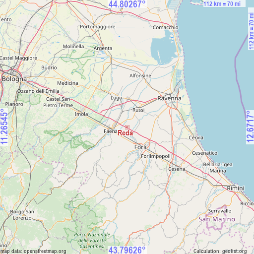
Reda GPS coordinates[2]
44° 18' 5.832" North, 11° 58' 6.852" East
| Map corner | latitude | longitude |
|---|---|---|
| Upper-left | 44.80267°, | 11.26545° |
| Center: | 44.30162°, | 11.96857° |
| Lower-right: | 43.79626°, | 12.6717° |
| Map W x H: | 111.9×111.9 km | = 69.5×69.5mi |
| max Lat: | 47.04031° ⇑51.9% North |
| Reda: | 44.30162° |
| min Lat: | ⇓48.1% South 35.50142° |
| min Long | Reda | max Long |
| 6.69888° | 11.96857° | 18.48682° |
| W 55.4%⇐ | ⇒44.6% E |
Elevation
Elevation of Reda is 20 m = 66 ft, and this is 286.7 m = 941 ft below average elevation for this country.
| Max E: |
2085 m = 6841 ft | 89% |
| Avg. | 306.7 m = 1006 ft | |
| Reda | 20 m = 66 ft | |
Min E: |
-4 m = -13 ft | 11% |
See also: Italy elevation on elevation.city.
Geographical zone
Reda is located in North temperate zone (between Tropic of Cancer and the Arctic Circle). Distance of this Northern Tropic circle is 2320 km =1441.6 mi to South.| Distance of | km | miles | from Reda |
|---|---|---|---|
| North Pole | 5081.2 | 3157.3 | to North |
| Arctic Circle | 2475.3 | 1538.1 | to North |
| Tropic Cancer | 2320 | 1441.6 | to South |
| Equator | 4925.9 | 3060.8 | to South |


Nearby cities:
15 places around Reda: (largest is in red/bold)
• Bagnacavallo
12.5 km =7.8 mi,  3°
3°
• Barbiano
11.8 km =7.3 mi,  326°
326°
• Castrocaro Terme e Terra del Sole
12.8 km =8 mi,  182°
182°
• Cotignola
9.7 km =6 mi,  345°
345°
• Faenza
7.2 km =4.5 mi,  259°
259°
• Forlì
10.6 km =6.6 mi,  146°
146°
• Godo
13.1 km =8.1 mi,  40°
40°
• Granarolo
6.9 km =4.3 mi,  336°
336°
• Roncadello
7.3 km =4.5 mi,  122°
122°
• Roncalceci
13 km =8.1 mi,  66°
66°
• Russi
9.8 km =6.1 mi,  31°
31°
• San Pancrazio
10.8 km =6.7 mi,  54°
54°
• San Pietro in Trento
9.2 km =5.7 mi,  78°
78°
• Solarolo
11.6 km =7.2 mi,  303°
303°
• Villanova
6.1 km =3.8 mi,  170°
170°
Sources, notices
• [Note1] Compared only with cities in Italy existing in our database
• [Src1] Map data: © OpenStreetMap contributors (CC-BY-SA)
• [Src2] Other city data from geonames.org with taken over terms of usage.
• [Src3] Geographical zone / Annual Mean Temperature by Robert A. Rohde @ Wikipedia
