Chapelton geodata
Chapelton (Clarendon) is a populated place; located in Jamaica in America/Jamaica (GMT-5) time zone. With population of 4,514 people, there are 34 cities with bigger population in this country. Compared to other cities in Jamaica, 56% of cities are located further ↑North; 51.6% of cities are located further →East and 71.4% of cities have lower elevation than Chapelton. Note1


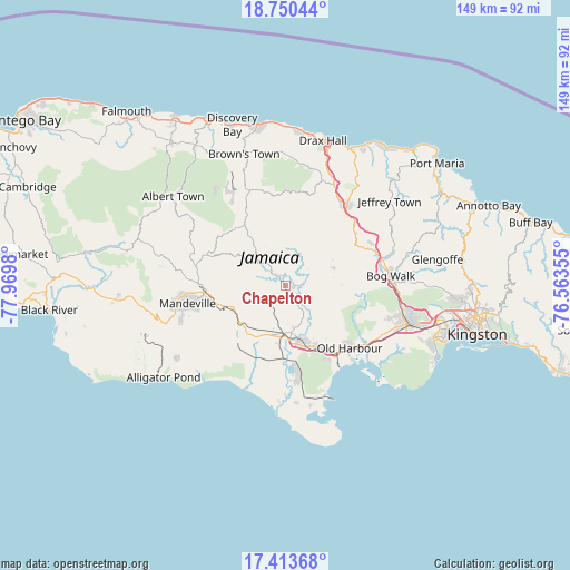
Chapelton GPS coordinates[2]
18° 4' 59.988" North, 77° 16' 0.012" West
| Map corner | latitude | longitude |
|---|---|---|
| Upper-left | 18.75044°, | -77.9698° |
| Center: | 18.08333°, | -77.26667° |
| Lower-right: | 17.41368°, | -76.56355° |
| Map W x H: | 148.6×148.6 km | = 92.3×92.3mi |
| max Lat: | 18.49358° ⇑56% North |
| Chapelton: | 18.08333° |
| min Lat: | ⇓44% South 17.774° |
| min Long | Chapelton | max Long |
| -78.3481° | -77.26667° | -76.24864° |
| W 48.4%⇐ | ⇒51.6% E |
Elevation
Elevation of Chapelton is 271 m = 889 ft, and this is 56.6 m = 186 ft above average elevation for this country.
| Max E: |
944 m = 3097 ft | 28.6% |
| Chapelton | 271 m 889 ft | |
| Avg. | 214.4 m = 703 ft | |
Min E: |
1 m = 3 ft | 71.4% |
See also: Jamaica elevation on elevation.city.
Geographical zone
Chapelton is located in North Torrid zone (between Equator and Tropic of Cancer). Distance of this Northern Tropic circle is 595.2 km =369.8 mi to North.| Distance of | km | miles | from Chapelton |
|---|---|---|---|
| North Pole | 7996.4 | 4968.7 | to North |
| Arctic Circle | 5390.5 | 3349.5 | to North |
| Tropic Cancer | 595.2 | 369.8 | to North |
| Equator | 2010.7 | 1249.4 | to South |


Nearby cities:
15 places around Chapelton: (largest is in red/bold)
• Alexandria
26.6 km =16.5 mi,  339°
339°
• Ewarton
22.2 km =13.8 mi,  59°
59°
• Hayes
23.3 km =14.5 mi,  172°
172°
• Kellits
8.7 km =5.4 mi,  357°
357°
• Limit
23 km =14.3 mi,  289°
289°
• Linstead
25.5 km =15.8 mi,  76°
76°
• Lluidas Vale
13.4 km =8.3 mi,  69°
69°
• Mandeville
25.8 km =16 mi,  259°
259°
• May Pen
13.4 km =8.3 mi, 170°
• Mocho
8.2 km =5.1 mi,  234°
234°
• Old Harbour
23 km =14.3 mi,  133°
133°
• Old Harbour Bay
26.4 km =16.4 mi,  137°
137°
• Point Hill
16.8 km =10.4 mi,  87°
87°
• Porus
16.2 km =10.1 mi,  250°
250°
• Williamsfield
21.2 km =13.2 mi, 264°
Sources, notices
• [Note1] Compared only with cities in Jamaica existing in our database
• [Src1] Map data: © OpenStreetMap contributors (CC-BY-SA)
• [Src2] Other city data from geonames.org with taken over terms of usage.
• [Src3] Geographical zone / Annual Mean Temperature by Robert A. Rohde @ Wikipedia
