Dayr ‘Allā geodata
Dayr ‘Allā (Balqa) is a seat of a second-order administrative division; located in Jordan in Asia/Amman (GMT+3) time zone. In our database, there are 84 cities with bigger population. Compared to other cities in Jordan, 54.3% of cities are located further ↓South; 84.1% of cities are located further →East and 97.1% of cities have higher elevation than Dayr ‘Allā. Note1


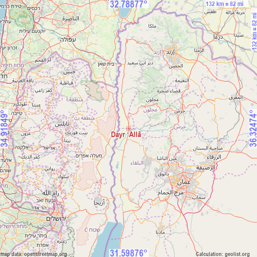
Dayr ‘Allā GPS coordinates[2]
32° 11' 44.556" North, 35° 37' 17.796" East
| Map corner | latitude | longitude |
|---|---|---|
| Upper-left | 32.78877°, | 34.91849° |
| Center: | 32.19571°, | 35.62161° |
| Lower-right: | 31.59876°, | 36.32474° |
| Map W x H: | 132.3×132.3 km | = 82.2×82.2mi |
| max Lat: | 33.31405° ⇑45.7% North |
| Dayr ‘Allā: | 32.19571° |
| min Lat: | ⇓54.3% South 29.40842° |
| min Long | Dayr ‘Allā | max Long |
| 34.97918° | 35.62161° | 38.70342° |
| W 15.9%⇐ | ⇒84.1% E |
Elevation
Elevation of Dayr ‘Allā is -223 m = -732 ft, and this is 908.7 m = 2981 ft below average elevation for this country.
| Max E: |
1440 m = 4724 ft | 97.1% |
| Avg. | 685.7 m = 2250 ft | |
| Dayr ‘Allā | -223 m = -732 ft | |
Min E: |
-366 m = -1201 ft | 2.9% |
See also: Jordan elevation on elevation.city.
Geographical zone
Dayr ‘Allā is located in North temperate zone (between Tropic of Cancer and the Arctic Circle). Distance of this Northern Tropic circle is 973.9 km =605.2 mi to South.| Distance of | km | miles | from Dayr ‘Allā |
|---|---|---|---|
| North Pole | 6427.2 | 3993.7 | to North |
| Arctic Circle | 3821.3 | 2374.4 | to North |
| Tropic Cancer | 973.9 | 605.2 | to South |
| Equator | 3579.8 | 2224.4 | to South |


Nearby cities:
15 places around Dayr ‘Allā: (largest is in red/bold)
• Al Kittah
22.5 km =14 mi,  66°
66°
• Al Maşţabah
22.1 km =13.7 mi,  93°
93°
• As Salţ
20 km =12.4 mi,  150°
150°
• Aş Şubayḩī
9.5 km =5.9 mi,  123°
123°
• Burmā
15.6 km =9.7 mi,  80°
80°
• Kufrinjah
13.6 km =8.5 mi,  33°
33°
• Kurayyimah
9.2 km =5.7 mi,  346°
346°
• Raymūn
21.6 km =13.4 mi,  63°
63°
• Sakib
20.2 km =12.6 mi, 60°
• Sūf
24.1 km =15 mi, 57°
• Ḩalāwah
21.3 km =13.2 mi,  10°
10°
• ‘Ajlūn
19.6 km =12.2 mi,  38°
38°
• ‘Allān
14.4 km =8.9 mi,  126°
126°
• ‘Anjarah
17.7 km =11 mi,  45°
45°
• ‘Ayn Jannah
20.4 km =12.7 mi, 40°
Sources, notices
• [Note1] Compared only with cities in Jordan existing in our database
• [Src1] Map data: © OpenStreetMap contributors (CC-BY-SA)
• [Src2] Other city data from geonames.org with taken over terms of usage.
• [Src3] Geographical zone / Annual Mean Temperature by Robert A. Rohde @ Wikipedia
