Kufrinjah geodata
Kufrinjah (Ajlun) is a seat of a second-order administrative division; located in Jordan in Asia/Amman (GMT+3) time zone. In our database, there are 84 cities with bigger population. Compared to other cities in Jordan, 61.6% of cities are located further ↓South; 74.6% of cities are located further →East and 64.5% of cities have higher elevation than Kufrinjah. Note1


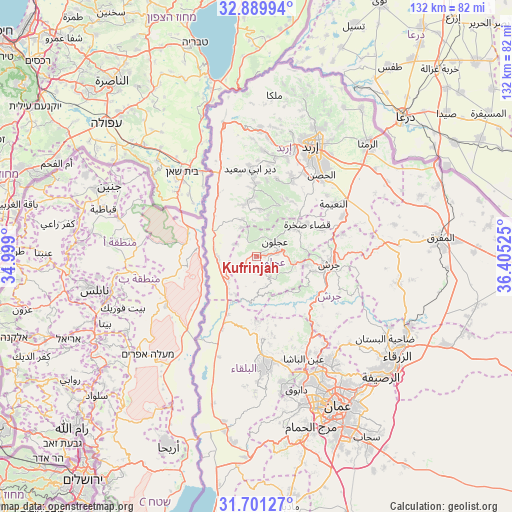
Kufrinjah GPS coordinates[2]
32° 17' 51.18" North, 35° 42' 7.632" East
| Map corner | latitude | longitude |
|---|---|---|
| Upper-left | 32.88994°, | 34.999° |
| Center: | 32.29755°, | 35.70212° |
| Lower-right: | 31.70127°, | 36.40525° |
| Map W x H: | 132.2×132.2 km | = 82.1×82.1mi |
| max Lat: | 33.31405° ⇑38.4% North |
| Kufrinjah: | 32.29755° |
| min Lat: | ⇓61.6% South 29.40842° |
| min Long | Kufrinjah | max Long |
| 34.97918° | 35.70212° | 38.70342° |
| W 25.4%⇐ | ⇒74.6% E |
Elevation
Elevation of Kufrinjah is 618 m = 2028 ft, and this is 67.7 m = 222 ft below average elevation for this country.
| Max E: |
1440 m = 4724 ft | 64.5% |
| Avg. | 685.7 m = 2250 ft | |
| Kufrinjah | 618 m = 2028 ft | |
Min E: |
-366 m = -1201 ft | 35.5% |
See also: Jordan elevation on elevation.city.
Geographical zone
Kufrinjah is located in North temperate zone (between Tropic of Cancer and the Arctic Circle). Distance of this Northern Tropic circle is 985.2 km =612.2 mi to South.| Distance of | km | miles | from Kufrinjah |
|---|---|---|---|
| North Pole | 6415.9 | 3986.7 | to North |
| Arctic Circle | 3810 | 2367.4 | to North |
| Tropic Cancer | 985.2 | 612.2 | to South |
| Equator | 3591.2 | 2231.5 | to South |


Nearby cities:
15 places around Kufrinjah: (largest is in red/bold)
• Al Kittah
13.3 km =8.3 mi,  99°
99°
• Burmā
11.7 km =7.3 mi,  138°
138°
• Dayr ‘Allā
13.6 km =8.5 mi,  213°
213°
• Judita
12.3 km =7.6 mi,  2°
2°
• Kafr Abīl
13.8 km =8.6 mi,  344°
344°
• Kurayyimah
9.9 km =6.2 mi,  256°
256°
• Raymūn
11.9 km =7.4 mi, 98°
• Sakib
10.2 km =6.3 mi, 98°
• Sūf
12.8 km =8 mi,  81°
81°
• Şakhrah
15.5 km =9.6 mi,  58°
58°
• Ḩalāwah
10.4 km =6.5 mi, 338°
• ‘Ajlūn
6.2 km =3.9 mi,  50°
50°
• ‘Anjarah
5.2 km =3.2 mi, 79°
• ‘Ayn Jannah
7.1 km =4.4 mi, 54°
• ‘Irjān
11.2 km =7 mi,  15°
15°
Sources, notices
• [Note1] Compared only with cities in Jordan existing in our database
• [Src1] Map data: © OpenStreetMap contributors (CC-BY-SA)
• [Src2] Other city data from geonames.org with taken over terms of usage.
• [Src3] Geographical zone / Annual Mean Temperature by Robert A. Rohde @ Wikipedia
