Yawata geodata
Yawata (Kyoto) is a seat of a second-order administrative division; located in Japan in Asia/Tokyo (GMT+9) time zone. With population of 71,656 people, there are 271 cities with bigger population in this country. Compared to other cities in Japan, 61.9% of cities are located further ↑North; 64.1% of cities are located further →East and 62.8% of cities have higher elevation than Yawata. Note1


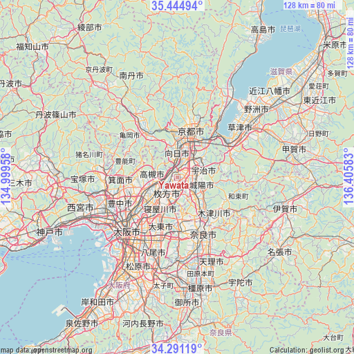
Yawata GPS coordinates[2]
34° 52' 12.324" North, 135° 42' 9.72" East
| Map corner | latitude | longitude |
|---|---|---|
| Upper-left | 35.44494°, | 134.99958° |
| Center: | 34.87009°, | 135.7027° |
| Lower-right: | 34.29119°, | 136.40583° |
| Map W x H: | 128.3×128.3 km | = 79.7×79.7mi |
| max Lat: | 45.40944° ⇑61.9% North |
| Yawata: | 34.87009° |
| min Lat: | ⇓38.1% South 24.34478° |
| min Long | Yawata | max Long |
| 123° | 135.7027° | 145.575° |
| W 35.9%⇐ | ⇒64.1% E |
Elevation
Elevation of Yawata is 17 m = 56 ft, and this is 67.6 m = 222 ft below average elevation for this country.
| Max E: |
1086 m = 3563 ft | 62.8% |
| Avg. | 84.6 m = 278 ft | |
| Yawata | 17 m = 56 ft | |
Min E: |
-2 m = -7 ft | 37.2% |
See also: Yawata elevation on elevation.city.
Geographical zone
Yawata is located in North temperate zone (between Tropic of Cancer and the Arctic Circle). Distance of this Northern Tropic circle is 1271.3 km =789.9 mi to South.| Distance of | km | miles | from Yawata |
|---|---|---|---|
| North Pole | 6129.9 | 3808.9 | to North |
| Arctic Circle | 3524 | 2189.7 | to North |
| Tropic Cancer | 1271.3 | 789.9 | to South |
| Equator | 3877.2 | 2409.2 | to South |


Nearby cities:
15 places around Yawata: (largest is in red/bold)
• Arashiyama
16.3 km =10.1 mi,  351°
351°
• Hirakata
8 km =5 mi,  217°
217°
• Ibaraki
13.6 km =8.5 mi,  244°
244°
• Jōyō
9.8 km =6.1 mi,  107°
107°
• Katano
8.7 km =5.4 mi,  190°
190°
• Kyoto
17.4 km =10.8 mi,  15°
15°
• Kyōtanabe
9.3 km =5.8 mi,  141°
141°
• Mukō
10.6 km =6.6 mi,  0°
0°
• Nagaoka
6.8 km =4.2 mi, 351°
• Neyagawa
13.4 km =8.3 mi,  210°
210°
• Settsu
14.2 km =8.8 mi, 223°
• Shijōnawate
15.3 km =9.5 mi, 186°
• Takatsuki
8.2 km =5.1 mi,  252°
252°
• Tanabe
7.8 km =4.8 mi,  132°
132°
• Uji
9.4 km =5.8 mi,  76°
76°
Sources, notices
• [Note1] Compared only with cities in Japan existing in our database
• [Src1] Map data: © OpenStreetMap contributors (CC-BY-SA)
• [Src2] Other city data from geonames.org with taken over terms of usage.
• [Src3] Geographical zone / Annual Mean Temperature by Robert A. Rohde @ Wikipedia
