Kamigyō-ku geodata
Kamigyō-ku (Kyoto) is a seat of a third-order administrative division; located in Japan in Asia/Tokyo (GMT+9) time zone. With population of 83,000 people, there are 240 cities with bigger population in this country. Compared to other cities in Japan, 57.6% of cities are located further ↑North; 63.4% of cities are located further →East and 66.4% of cities have lower elevation than Kamigyō-ku. Note1


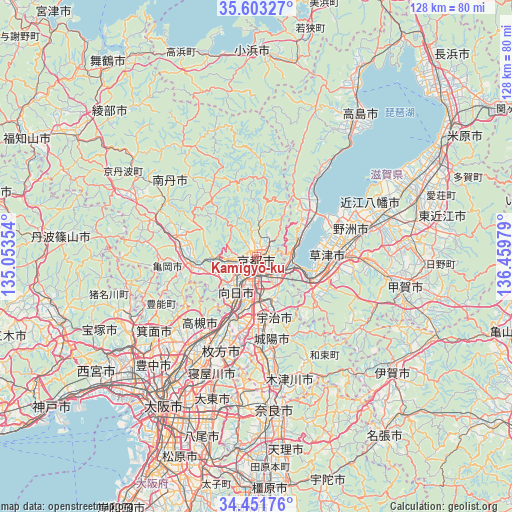
Kamigyō-ku GPS coordinates[2]
35° 1' 46.344" North, 135° 45' 23.976" East
| Map corner | latitude | longitude |
|---|---|---|
| Upper-left | 35.60327°, | 135.05354° |
| Center: | 35.02954°, | 135.75666° |
| Lower-right: | 34.45176°, | 136.45979° |
| Map W x H: | 128×128 km | = 79.5×79.5mi |
| max Lat: | 45.40944° ⇑57.6% North |
| Kamigyō-ku: | 35.02954° |
| min Lat: | ⇓42.4% South 24.34478° |
| min Long | Kamigyō-ku | max Long |
| 123° | 135.75666° | 145.575° |
| W 36.6%⇐ | ⇒63.4% E |
Elevation
Elevation of Kamigyō-ku is 61 m = 200 ft, and this is 23.6 m = 77 ft below average elevation for this country.
| Max E: |
1086 m = 3563 ft | 33.6% |
| Avg. | 84.6 m = 278 ft | |
| Kamigyō-ku | 61 m = 200 ft | |
Min E: |
-2 m = -7 ft | 66.4% |
See also: Kamigyō-ku elevation on elevation.city.
Geographical zone
Kamigyō-ku is located in North temperate zone (between Tropic of Cancer and the Arctic Circle). Distance of this Northern Tropic circle is 1289 km =800.9 mi to South.| Distance of | km | miles | from Kamigyō-ku |
|---|---|---|---|
| North Pole | 6112.1 | 3797.9 | to North |
| Arctic Circle | 3506.3 | 2178.7 | to North |
| Tropic Cancer | 1289 | 800.9 | to South |
| Equator | 3894.9 | 2420.2 | to South |


Nearby cities:
15 places around Kamigyō-ku: (largest is in red/bold)
• Arashiyama
7.4 km =4.6 mi,  257°
257°
• Jōyō
21.1 km =13.1 mi,  167°
167°
• Kameoka
16.1 km =10 mi, 258°
• Kitahama
21.1 km =13.1 mi,  43°
43°
• Kusatsu
19.2 km =11.9 mi,  94°
94°
• Kyoto
1 km =0.6 mi,  195°
195°
• Moriyama
21 km =13 mi,  78°
78°
• Mukō
8.6 km =5.3 mi,  213°
213°
• Nagaoka
12.4 km =7.7 mi, 208°
• Rittō
22.1 km =13.7 mi, 90°
• Takatsuki
23.8 km =14.8 mi, 212°
• Tanabe
23 km =14.3 mi,  177°
177°
• Uji
16 km =9.9 mi,  164°
164°
• Yawata
18.4 km =11.4 mi, 195°
• Ōtsu
10.5 km =6.5 mi,  108°
108°
Sources, notices
• [Note1] Compared only with cities in Japan existing in our database
• [Src1] Map data: © OpenStreetMap contributors (CC-BY-SA)
• [Src2] Other city data from geonames.org with taken over terms of usage.
• [Src3] Geographical zone / Annual Mean Temperature by Robert A. Rohde @ Wikipedia
