Kyzyl-Eshme geodata
Kyzyl-Eshme (Osh) is a populated place; located in Kyrgyzstan in Asia/Bishkek (GMT+6) time zone. With population of 1,100 people, there are 34 cities with bigger population in this country. Compared to other cities in Kyrgyzstan, 98.8% of cities are located further ↑North; 50% of cities are located further ←West and 98.8% of cities have lower elevation than Kyzyl-Eshme. Note1


Kyzyl-Eshme GPS coordinates[2]
39° 33' 56.124" North, 72° 16' 17.508" East
| Map corner | latitude | longitude |
|---|---|---|
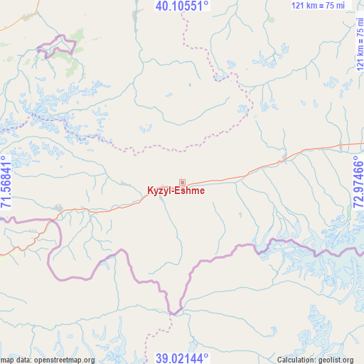
| Upper-left | 40.10551°, | 71.56841° |
| Center: | 39.56559°, | 72.27153° |
| Lower-right: | 39.02144°, | 72.97466° |
| Map W x H: | 120.5×120.5 km | = 74.9×74.9mi |
| max Lat: | 42.89106° ⇑98.8% North |
| Kyzyl-Eshme: | 39.56559° |
| min Lat: | ⇓1.2% South 39.55274° |
| min Long | Kyzyl-Eshme | max Long |
| 69.3716° | 72.27153° | 78.52702° |
| W 50%⇐ | ⇒50% E |
Elevation
Elevation of Kyzyl-Eshme is 2596 m = 8517 ft, and this is 1394.6 m = 4575 ft above average elevation for this country.
| Max E: |
2638 m = 8655 ft | 1.2% |
| Kyzyl-Eshme | 2596 m 8517 ft | |
| Avg. | 1201.4 m = 3942 ft | |
Min E: |
504 m = 1654 ft | 98.8% |
See also: Kyrgyzstan elevation on elevation.city.
Geographical zone
Kyzyl-Eshme is located in North temperate zone (between Tropic of Cancer and the Arctic Circle). Distance of this Northern Tropic circle is 1793.4 km =1114.4 mi to South.| Distance of | km | miles | from Kyzyl-Eshme |
|---|---|---|---|
| North Pole | 5607.8 | 3484.5 | to North |
| Arctic Circle | 3001.9 | 1865.3 | to North |
| Tropic Cancer | 1793.4 | 1114.4 | to South |
| Equator | 4399.3 | 2733.6 | to South |


Nearby cities:
15 places around Kyzyl-Eshme: (largest is in red/bold)
• Aydarken
89.9 km =55.9 mi,  297°
297°
• Daroot-Korgon
5.9 km =3.7 mi,  255°
255°
• Iradan
79.3 km =49.3 mi,  349°
349°
• Kara-Dzhygach
63.7 km =39.6 mi, 346°
• Kara-Dëbë
77.9 km =48.4 mi, 345°
• Karavan
81.4 km =50.6 mi, 354°
• Khalmion
90.2 km =56 mi,  322°
322°
• Kyzyl-Bulak
70.7 km =43.9 mi, 319°
• Kyzyl-Kyya
77.8 km =48.3 mi, 350°
• Markaz
81.4 km =50.6 mi,  337°
337°
• Nookat
83.3 km =51.8 mi,  20°
20°
• Ormosh
96.2 km =59.8 mi, 296°
• Orozbekovo
75 km =46.6 mi, 316°
• Pulgon
79.5 km =49.4 mi, 324°
• Uch-Korgon
75.9 km =47.2 mi, 346°
Sources, notices
• [Note1] Compared only with cities in Kyrgyzstan existing in our database
• [Src1] Map data: © OpenStreetMap contributors (CC-BY-SA)
• [Src2] Other city data from geonames.org with taken over terms of usage.
• [Src3] Geographical zone / Annual Mean Temperature by Robert A. Rohde @ Wikipedia
