Aanjar geodata
Aanjar (Béqaa) is a populated place; located in Lebanon in Asia/Beirut (GMT+3) time zone. With population of 2,400 people, there are 16 cities with bigger population in this country. Compared to other cities in Lebanon, 59.4% of cities are located further ↑North; 84.4% of cities are located further ←West and 71.9% of cities have lower elevation than Aanjar. Note1


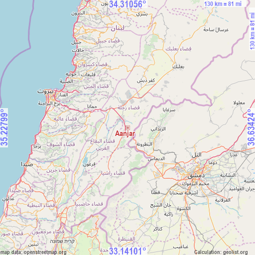
Aanjar GPS coordinates[2]
33° 43' 40.008" North, 35° 55' 51.996" East
| Map corner | latitude | longitude |
|---|---|---|
| Upper-left | 34.31056°, | 35.22799° |
| Center: | 33.72778°, | 35.93111° |
| Lower-right: | 33.14101°, | 36.63424° |
| Map W x H: | 130×130 km | = 80.8×80.8mi |
| max Lat: | 34.54278° ⇑59.4% North |
| Aanjar: | 33.72778° |
| min Lat: | ⇓40.6% South 33.11023° |
| min Long | Aanjar | max Long |
| 35.13972° | 35.93111° | 36.38472° |
| W 84.4%⇐ | ⇒15.6% E |
Elevation
Elevation of Aanjar is 920 m = 3018 ft, and this is 364.8 m = 1197 ft above average elevation for this country.
| Max E: |
1442 m = 4731 ft | 28.1% |
| Aanjar | 920 m 3018 ft | |
| Avg. | 555.2 m = 1822 ft | |
Min E: |
7 m = 23 ft | 71.9% |
See also: Lebanon elevation on elevation.city.
Geographical zone
Aanjar is located in North temperate zone (between Tropic of Cancer and the Arctic Circle). Distance of this Northern Tropic circle is 1144.3 km =711 mi to South.| Distance of | km | miles | from Aanjar |
|---|---|---|---|
| North Pole | 6256.9 | 3887.9 | to North |
| Arctic Circle | 3651 | 2268.6 | to North |
| Tropic Cancer | 1144.3 | 711 | to South |
| Equator | 3750.2 | 2330.3 | to South |


Nearby cities:
15 places around Aanjar: (largest is in red/bold)
• Aaley
31.8 km =19.8 mi,  285°
285°
• Baabda
37.7 km =23.4 mi, 288°
• Baalbek
40.7 km =25.3 mi,  40°
40°
• Beirut
43.7 km =27.2 mi, 294°
• Beït ed Dîne
32.6 km =20.3 mi,  263°
263°
• Bhamdoun
26.9 km =16.7 mi, 286°
• Bhamdoûn el Mhatta
26.6 km =16.5 mi, 289°
• Hâsbaïya
43.2 km =26.8 mi,  211°
211°
• Jdaidet el Matn
38.2 km =23.7 mi,  298°
298°
• Jezzîne
38.2 km =23.7 mi,  237°
237°
• Joubb Jannîne
17.6 km =10.9 mi,  230°
230°
• Jounieh
40.4 km =25.1 mi,  314°
314°
• Ra’s Bayrūt
45.6 km =28.3 mi, 294°
• Râchaïya el Ouadi
26.5 km =16.5 mi,  197°
197°
• Zahlé
13.5 km =8.4 mi,  348°
348°
Sources, notices
• [Note1] Compared only with cities in Lebanon existing in our database
• [Src1] Map data: © OpenStreetMap contributors (CC-BY-SA)
• [Src2] Other city data from geonames.org with taken over terms of usage.
• [Src3] Geographical zone / Annual Mean Temperature by Robert A. Rohde @ Wikipedia
