Waldbillig geodata
Waldbillig (Echternach) is a seat of a third-order administrative division; located in Luxembourg in Europe/Luxembourg (GMT+2) time zone. With population of 408 people, there are 153 cities with bigger population in this country. Compared to other cities in Luxembourg, 78% of cities are located further ↓South; 81.9% of cities are located further ←West and 61% of cities have lower elevation than Waldbillig. Note1


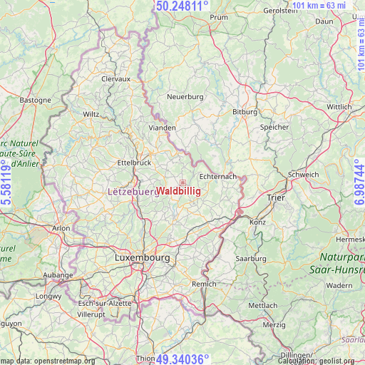
Waldbillig GPS coordinates[2]
49° 47' 46.896" North, 6° 17' 3.516" East
| Map corner | latitude | longitude |
|---|---|---|
| Upper-left | 50.24811°, | 5.58119° |
| Center: | 49.79636°, | 6.28431° |
| Lower-right: | 49.34036°, | 6.98744° |
| Map W x H: | 100.9×100.9 km | = 62.7×62.7mi |
| max Lat: | 50.13722° ⇑22% North |
| Waldbillig: | 49.79636° |
| min Lat: | ⇓78% South 49.45964° |
| min Long | Waldbillig | max Long |
| 5.76583° | 6.28431° | 6.50532° |
| W 81.9%⇐ | ⇒18.1% E |
Elevation
Elevation of Waldbillig is 298 m = 978 ft, and this is 16 m = 52 ft above average elevation for this country.
| Max E: |
502 m = 1647 ft | 39% |
| Waldbillig | 298 m 978 ft | |
| Avg. | 282 m = 925 ft | |
Min E: |
143 m = 469 ft | 61% |
See also: Luxembourg elevation on elevation.city.
Geographical zone
Waldbillig is located in North temperate zone (between Tropic of Cancer and the Arctic Circle). Distance of this North polar circle is 1864.3 km =1158.4 mi to North.| Distance of | km | miles | from Waldbillig |
|---|---|---|---|
| North Pole | 4470.2 | 2777.7 | to North |
| Arctic Circle | 1864.3 | 1158.4 | to North |
| Tropic Cancer | 2930.9 | 1821.2 | to South |
| Equator | 5536.8 | 3440.4 | to South |


Nearby cities:
15 places around Waldbillig: (largest is in red/bold)
• Beaufort
4.4 km =2.7 mi,  6°
6°
• Bech
7.5 km =4.7 mi,  130°
130°
• Berbourg
10.7 km =6.6 mi, 132°
• Berdorf
5.4 km =3.4 mi,  60°
60°
• Bettendorf
10.1 km =6.3 mi,  331°
331°
• Consdorf
4.4 km =2.7 mi,  114°
114°
• Echternach
9.8 km =6.1 mi,  79°
79°
• Fischbach
9 km =5.6 mi,  231°
231°
• Gilsdorf
10.7 km =6.6 mi,  315°
315°
• Heffingen
4.4 km =2.7 mi, 226°
• Junglinster
10.2 km =6.3 mi,  192°
192°
• Larochette
4.9 km =3 mi,  253°
253°
• Medernach
5.2 km =3.2 mi,  286°
286°
• Nommern
7.9 km =4.9 mi,  262°
262°
• Reisdorf
8.1 km =5 mi,  351°
351°
Sources, notices
• [Note1] Compared only with cities in Luxembourg existing in our database
• [Src1] Map data: © OpenStreetMap contributors (CC-BY-SA)
• [Src2] Other city data from geonames.org with taken over terms of usage.
• [Src3] Geographical zone / Annual Mean Temperature by Robert A. Rohde @ Wikipedia
