Bech geodata
Bech (Echternach) is a seat of a third-order administrative division; located in Luxembourg in Europe/Luxembourg (GMT+2) time zone. With population of 380 people, there are 156 cities with bigger population in this country. Compared to other cities in Luxembourg, 70.6% of cities are located further ↓South; 91% of cities are located further ←West and 65.5% of cities have lower elevation than Bech. Note1


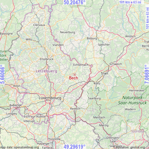
Bech GPS coordinates[2]
49° 45' 9.36" North, 6° 21' 49.644" East
| Map corner | latitude | longitude |
|---|---|---|
| Upper-left | 50.20476°, | 5.66066° |
| Center: | 49.7526°, | 6.36379° |
| Lower-right: | 49.29619°, | 7.06691° |
| Map W x H: | 101×101 km | = 62.8×62.8mi |
| max Lat: | 50.13722° ⇑29.4% North |
| Bech: | 49.7526° |
| min Lat: | ⇓70.6% South 49.45964° |
| min Long | Bech | max Long |
| 5.76583° | 6.36379° | 6.50532° |
| W 91%⇐ | ⇒9% E |
Elevation
Elevation of Bech is 301 m = 988 ft, and this is 19 m = 62 ft above average elevation for this country.
| Max E: |
502 m = 1647 ft | 34.5% |
| Bech | 301 m 988 ft | |
| Avg. | 282 m = 925 ft | |
Min E: |
143 m = 469 ft | 65.5% |
See also: Luxembourg elevation on elevation.city.
Geographical zone
Bech is located in North temperate zone (between Tropic of Cancer and the Arctic Circle). Distance of this North polar circle is 1869.2 km =1161.5 mi to North.| Distance of | km | miles | from Bech |
|---|---|---|---|
| North Pole | 4475.1 | 2780.7 | to North |
| Arctic Circle | 1869.2 | 1161.5 | to North |
| Tropic Cancer | 2926.1 | 1818.2 | to South |
| Equator | 5532 | 3437.4 | to South |


Nearby cities:
15 places around Bech: (largest is in red/bold)
• Berbourg
3.2 km =2 mi,  138°
138°
• Berdorf
7.6 km =4.7 mi,  352°
352°
• Betzdorf
7.8 km =4.8 mi,  187°
187°
• Biwer
5.2 km =3.2 mi,  173°
173°
• Consdorf
3.5 km =2.2 mi,  330°
330°
• Echternach
7.7 km =4.8 mi,  30°
30°
• Flaxweiler
9.7 km =6 mi, 188°
• Grevenmacher
10 km =6.2 mi,  146°
146°
• Heffingen
9 km =5.6 mi,  281°
281°
• Junglinster
9.4 km =5.8 mi,  237°
237°
• Manternach
7.1 km =4.4 mi, 140°
• Mertert
10 km =6.2 mi,  123°
123°
• Mompach
7.3 km =4.5 mi,  95°
95°
• Waldbillig
7.5 km =4.7 mi,  310°
310°
• Wecker
6.6 km =4.1 mi, 166°
Sources, notices
• [Note1] Compared only with cities in Luxembourg existing in our database
• [Src1] Map data: © OpenStreetMap contributors (CC-BY-SA)
• [Src2] Other city data from geonames.org with taken over terms of usage.
• [Src3] Geographical zone / Annual Mean Temperature by Robert A. Rohde @ Wikipedia
