Berbourg geodata
Berbourg (Grevenmacher) is a populated place; located in Luxembourg in Europe/Luxembourg (GMT+2) time zone. With population of 664 people, there are 120 cities with bigger population in this country. Compared to other cities in Luxembourg, 66.1% of cities are located further ↓South; 94.9% of cities are located further ←West and 50.8% of cities have higher elevation than Berbourg. Note1


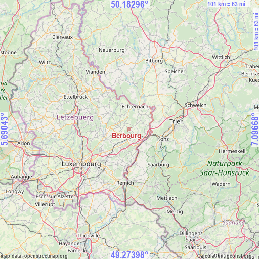
Berbourg GPS coordinates[2]
49° 43' 50.16" North, 6° 23' 36.78" East
| Map corner | latitude | longitude |
|---|---|---|
| Upper-left | 50.18296°, | 5.69043° |
| Center: | 49.7306°, | 6.39355° |
| Lower-right: | 49.27398°, | 7.09668° |
| Map W x H: | 101.1×101.1 km | = 62.8×62.8mi |
| max Lat: | 50.13722° ⇑33.9% North |
| Berbourg: | 49.7306° |
| min Lat: | ⇓66.1% South 49.45964° |
| min Long | Berbourg | max Long |
| 5.76583° | 6.39355° | 6.50532° |
| W 94.9%⇐ | ⇒5.1% E |
Elevation
Elevation of Berbourg is 282 m = 925 ft, and this is 0 m = 0 ft above average elevation for this country.
| Max E: |
502 m = 1647 ft | 50.8% |
| Berbourg | 282 m 925 ft | |
| Avg. | 282 m = 925 ft | |
Min E: |
143 m = 469 ft | 49.2% |
See also: Luxembourg elevation on elevation.city.
Geographical zone
Berbourg is located in North temperate zone (between Tropic of Cancer and the Arctic Circle). Distance of this North polar circle is 1871.6 km =1163 mi to North.| Distance of | km | miles | from Berbourg |
|---|---|---|---|
| North Pole | 4477.5 | 2782.2 | to North |
| Arctic Circle | 1871.6 | 1163 | to North |
| Tropic Cancer | 2923.6 | 1816.6 | to South |
| Equator | 5529.5 | 3435.9 | to South |


Nearby cities:
15 places around Berbourg: (largest is in red/bold)
• Bech
3.2 km =2 mi,  318°
318°
• Berdorf
10.5 km =6.5 mi,  342°
342°
• Betzdorf
6.1 km =3.8 mi,  210°
210°
• Biwer
3.1 km =1.9 mi, 209°
• Consdorf
6.7 km =4.2 mi, 324°
• Echternach
9.2 km =5.7 mi,  11°
11°
• Flaxweiler
8 km =5 mi, 206°
• Grevenmacher
6.8 km =4.2 mi,  150°
150°
• Junglinster
10.4 km =6.5 mi,  255°
255°
• Manternach
3.9 km =2.4 mi,  142°
142°
• Mertert
6.9 km =4.3 mi,  116°
116°
• Mompach
5.4 km =3.4 mi,  71°
71°
• Roodt-sur-Syre
9.7 km =6 mi,  222°
222°
• Wasserbillig
7.7 km =4.8 mi,  102°
102°
• Wecker
4 km =2.5 mi,  188°
188°
Sources, notices
• [Note1] Compared only with cities in Luxembourg existing in our database
• [Src1] Map data: © OpenStreetMap contributors (CC-BY-SA)
• [Src2] Other city data from geonames.org with taken over terms of usage.
• [Src3] Geographical zone / Annual Mean Temperature by Robert A. Rohde @ Wikipedia
