Grosbous geodata
Grosbous (Redange) is a seat of a third-order administrative division; located in Luxembourg in Europe/Luxembourg (GMT+2) time zone. With population of 656 people, there are 123 cities with bigger population in this country. Compared to other cities in Luxembourg, 83.1% of cities are located further ↓South; 79.1% of cities are located further →East and 88.1% of cities have lower elevation than Grosbous. Note1


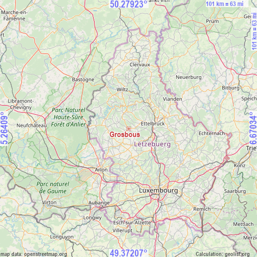
Grosbous GPS coordinates[2]
49° 49' 40.008" North, 5° 58' 1.992" East
| Map corner | latitude | longitude |
|---|---|---|
| Upper-left | 50.27923°, | 5.26409° |
| Center: | 49.82778°, | 5.96722° |
| Lower-right: | 49.37207°, | 6.67034° |
| Map W x H: | 100.9×100.9 km | = 62.7×62.7mi |
| max Lat: | 50.13722° ⇑16.9% North |
| Grosbous: | 49.82778° |
| min Lat: | ⇓83.1% South 49.45964° |
| min Long | Grosbous | max Long |
| 5.76583° | 5.96722° | 6.50532° |
| W 20.9%⇐ | ⇒79.1% E |
Elevation
Elevation of Grosbous is 344 m = 1129 ft, and this is 62 m = 203 ft above average elevation for this country.
| Max E: |
502 m = 1647 ft | 11.9% |
| Grosbous | 344 m 1129 ft | |
| Avg. | 282 m = 925 ft | |
Min E: |
143 m = 469 ft | 88.1% |
See also: Luxembourg elevation on elevation.city.
Geographical zone
Grosbous is located in North temperate zone (between Tropic of Cancer and the Arctic Circle). Distance of this North polar circle is 1860.8 km =1156.2 mi to North.| Distance of | km | miles | from Grosbous |
|---|---|---|---|
| North Pole | 4466.7 | 2775.5 | to North |
| Arctic Circle | 1860.8 | 1156.2 | to North |
| Tropic Cancer | 2934.4 | 1823.4 | to South |
| Equator | 5540.3 | 3442.6 | to South |


Nearby cities:
15 places around Grosbous: (largest is in red/bold)
• Bettborn
4.1 km =2.5 mi,  207°
207°
• Bissen
8.4 km =5.2 mi,  122°
122°
• Boevange-sur-Attert
7 km =4.3 mi,  150°
150°
• Colmar
9.5 km =5.9 mi,  101°
101°
• Esch-sur-Sûre
9.6 km =6 mi,  346°
346°
• Mertzig
3 km =1.9 mi,  76°
76°
• Niederfeulen
6.5 km =4 mi,  61°
61°
• Platen
4.9 km =3 mi, 209°
• Rambrouch
8.8 km =5.5 mi,  272°
272°
• Redange-sur-Attert
9 km =5.6 mi,  218°
218°
• Schieren
9.4 km =5.8 mi,  88°
88°
• Useldange
6.5 km =4 mi,  170°
170°
• Vichten
3.6 km =2.2 mi,  139°
139°
• Wahl
4.5 km =2.8 mi,  282°
282°
• Warken
9.1 km =5.7 mi,  67°
67°
Sources, notices
• [Note1] Compared only with cities in Luxembourg existing in our database
• [Src1] Map data: © OpenStreetMap contributors (CC-BY-SA)
• [Src2] Other city data from geonames.org with taken over terms of usage.
• [Src3] Geographical zone / Annual Mean Temperature by Robert A. Rohde @ Wikipedia
