Gourma Rharous geodata
Gourma Rharous (Tombouctou) is a seat of a second-order administrative division; located in Mali in Africa/Bamako (GMT+0) time zone. In our database, there are 39 cities with bigger population. Compared to other cities in Mali, 88.5% of cities are located further ↓South; 85.2% of cities are located further ←West and 82% of cities have higher elevation than Gourma Rharous. Note1


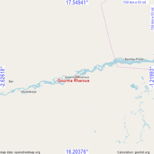
Gourma Rharous GPS coordinates[2]
16° 52' 40.008" North, 1° 55' 23.016" West
| Map corner | latitude | longitude |
|---|---|---|
| Upper-left | 17.54941°, | -2.62618° |
| Center: | 16.87778°, | -1.92306° |
| Lower-right: | 16.20376°, | -1.21993° |
| Map W x H: | 149.6×149.6 km | = 93×93mi |
| max Lat: | 22.67443° ⇑11.5% North |
| Gourma Rharous: | 16.87778° |
| min Lat: | ⇓88.5% South 10.55° |
| min Long | Gourma Rharous | max Long |
| -11.44448° | -1.92306° | 3.14111° |
| W 85.2%⇐ | ⇒14.8% E |
Elevation
Elevation of Gourma Rharous is 263 m = 863 ft, and this is 45 m = 148 ft below average elevation for this country.
| Max E: |
540 m = 1772 ft | 82% |
| Avg. | 308 m = 1010 ft | |
| Gourma Rharous | 263 m = 863 ft | |
Min E: |
39 m = 128 ft | 18% |
See also: Mali elevation on elevation.city.
Geographical zone
Gourma Rharous is located in North Torrid zone (between Equator and Tropic of Cancer). Distance of this Northern Tropic circle is 729.3 km =453.2 mi to North.| Distance of | km | miles | from Gourma Rharous |
|---|---|---|---|
| North Pole | 8130.4 | 5052 | to North |
| Arctic Circle | 5524.5 | 3432.8 | to North |
| Tropic Cancer | 729.3 | 453.2 | to North |
| Equator | 1876.6 | 1166.1 | to South |


Nearby cities:
15 places around Gourma Rharous: (largest is in red/bold)
• Ansongo
292.1 km =181.5 mi,  117°
117°
• Araouane
282.1 km =175.3 mi,  323°
323°
• Bandiagara
334.1 km =207.6 mi,  212°
212°
• Bankass
355.1 km =220.6 mi, 208°
• Bourem
167.7 km =104.2 mi,  87°
87°
• Diré
172 km =106.9 mi,  246°
246°
• Douentza
235.7 km =146.5 mi, 207°
• Gao
211.2 km =131.2 mi,  108°
108°
• Goundam
193.2 km =120 mi, 254°
• Kidal
393.4 km =244.4 mi,  63°
63°
• Koro
336.3 km =209 mi,  201°
201°
• Mopti
359.6 km =223.4 mi,  222°
222°
• Niafunké
244.3 km =151.8 mi,  244°
244°
• Timbuktu
116 km =72.1 mi,  264°
264°
• Youwarou
301 km =187 mi, 236°
Sources, notices
• [Note1] Compared only with cities in Mali existing in our database
• [Src1] Map data: © OpenStreetMap contributors (CC-BY-SA)
• [Src2] Other city data from geonames.org with taken over terms of usage.
• [Src3] Geographical zone / Annual Mean Temperature by Robert A. Rohde @ Wikipedia
