Tsoohor geodata
Tsoohor (Ömnögovĭ) is a seat of a second-order administrative division; located in Mongolia in Asia/Ulaanbaatar (GMT+8) time zone. In our database, there are 33 cities with bigger population. Compared to other cities in Mongolia, 98.2% of cities are located further ↑North; 58.6% of cities are located further ←West and 81.9% of cities have lower elevation than Tsoohor. Note1


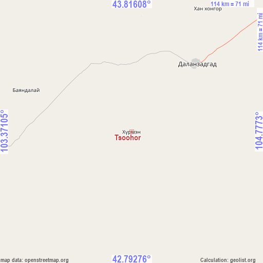
Tsoohor GPS coordinates[2]
43° 18' 23.652" North, 104° 4' 27.012" East
| Map corner | latitude | longitude |
|---|---|---|
| Upper-left | 43.81608°, | 103.37105° |
| Center: | 43.30657°, | 104.07417° |
| Lower-right: | 42.79276°, | 104.7773° |
| Map W x H: | 113.8×113.8 km | = 70.7×70.7mi |
| max Lat: | 51.50725° ⇑98.2% North |
| Tsoohor: | 43.30657° |
| min Lat: | ⇓1.8% South 42.84199° |
| min Long | Tsoohor | max Long |
| 89.14358° | 104.07417° | 118.51014° |
| W 58.6%⇐ | ⇒41.4% E |
Elevation
Elevation of Tsoohor is 1822 m = 5978 ft, and this is 405.5 m = 1330 ft above average elevation for this country.
| Max E: |
2800 m = 9186 ft | 18.1% |
| Tsoohor | 1822 m 5978 ft | |
| Avg. | 1416.5 m = 4647 ft | |
Min E: |
619 m = 2031 ft | 81.9% |
See also: Mongolia elevation on elevation.city.
Geographical zone
Tsoohor is located in North temperate zone (between Tropic of Cancer and the Arctic Circle). Distance of this Northern Tropic circle is 2209.3 km =1372.8 mi to South.| Distance of | km | miles | from Tsoohor |
|---|---|---|---|
| North Pole | 5191.8 | 3226 | to North |
| Arctic Circle | 2585.9 | 1606.8 | to North |
| Tropic Cancer | 2209.3 | 1372.8 | to South |
| Equator | 4815.2 | 2992 | to South |


Nearby cities:
15 places around Tsoohor: (largest is in red/bold)
• Baruunsuu
141.1 km =87.7 mi,  74°
74°
• Bulgan
97.8 km =60.8 mi,  334°
334°
• Dalandzadgad
40.8 km =25.4 mi,  43°
43°
• Dalay
48.8 km =30.3 mi,  291°
291°
• Doloon
159.5 km =99.1 mi, 38°
• Erdenetsogt
170 km =105.6 mi,  102°
102°
• Hashaat
223.1 km =138.6 mi,  15°
15°
• Hovd
202.9 km =126.1 mi,  318°
318°
• Hovd
214.6 km =133.3 mi,  314°
314°
• Noyon Suma
158 km =98.2 mi,  264°
264°
• Sangiyn Dalay
100.7 km =62.6 mi,  120°
120°
• Saynshand
129 km =80.2 mi, 285°
• Sharhulsan
149.4 km =92.8 mi,  359°
359°
• Ulaanjirem
227.5 km =141.4 mi,  31°
31°
• Ögöömör
62.3 km =38.7 mi, 31°
Sources, notices
• [Note1] Compared only with cities in Mongolia existing in our database
• [Src1] Map data: © OpenStreetMap contributors (CC-BY-SA)
• [Src2] Other city data from geonames.org with taken over terms of usage.
• [Src3] Geographical zone / Annual Mean Temperature by Robert A. Rohde @ Wikipedia
