Ergel geodata
Ergel (East Gobi Aymag) is a seat of a second-order administrative division; located in Mongolia in Asia/Ulaanbaatar (GMT+8) time zone. In our database, there are 33 cities with bigger population. Compared to other cities in Mongolia, 99.4% of cities are located further ↑North; 84% of cities are located further ←West and 72.7% of cities have higher elevation than Ergel. Note1


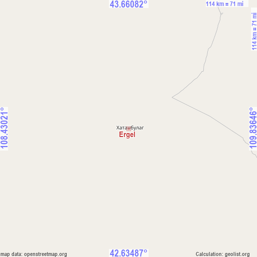
Ergel GPS coordinates[2]
43° 9' 0" North, 109° 7' 59.988" East
| Map corner | latitude | longitude |
|---|---|---|
| Upper-left | 43.66082°, | 108.43021° |
| Center: | 43.15°, | 109.13333° |
| Lower-right: | 42.63487°, | 109.83646° |
| Map W x H: | 114.1×114.1 km | = 70.9×70.9mi |
| max Lat: | 51.50725° ⇑99.4% North |
| Ergel: | 43.15° |
| min Lat: | ⇓0.6% South 42.84199° |
| min Long | Ergel | max Long |
| 89.14358° | 109.13333° | 118.51014° |
| W 84%⇐ | ⇒16% E |
Elevation
Elevation of Ergel is 1138 m = 3734 ft, and this is 278.5 m = 914 ft below average elevation for this country.
| Max E: |
2800 m = 9186 ft | 72.7% |
| Avg. | 1416.5 m = 4647 ft | |
| Ergel | 1138 m = 3734 ft | |
Min E: |
619 m = 2031 ft | 27.3% |
See also: Mongolia elevation on elevation.city.
Geographical zone
Ergel is located in North temperate zone (between Tropic of Cancer and the Arctic Circle). Distance of this Northern Tropic circle is 2191.9 km =1362 mi to South.| Distance of | km | miles | from Ergel |
|---|---|---|---|
| North Pole | 5209.2 | 3236.8 | to North |
| Arctic Circle | 2603.3 | 1617.6 | to North |
| Tropic Cancer | 2191.9 | 1362 | to South |
| Equator | 4797.8 | 2981.2 | to South |


Nearby cities:
15 places around Ergel: (largest is in red/bold)
• Argatay
304.9 km =189.5 mi,  342°
342°
• Baruunsuu
278.6 km =173.1 mi,  281°
281°
• Böhöt
241.3 km =149.9 mi, 343°
• Chandmanĭ
285.4 km =177.3 mi,  21°
21°
• Erdenetsogt
245.7 km =152.7 mi,  265°
265°
• Ihbulag
156.9 km =97.5 mi, 272°
• Khuvsget
65.1 km =40.5 mi,  38°
38°
• Naran-mandokhu Somon
156 km =96.9 mi,  332°
332°
• Nüden
118.1 km =73.4 mi,  65°
65°
• Saynshand
208 km =129.2 mi, 22°
• Senj
217.8 km =135.3 mi, 36°
• Tsagaandörvölj
294.8 km =183.2 mi,  2°
2°
• Ulaan-Uul
213.9 km =132.9 mi,  52°
52°
• Öldziyt
170.7 km =106.1 mi,  356°
356°
• Üydzen
209.6 km =130.2 mi,  299°
299°
Sources, notices
• [Note1] Compared only with cities in Mongolia existing in our database
• [Src1] Map data: © OpenStreetMap contributors (CC-BY-SA)
• [Src2] Other city data from geonames.org with taken over terms of usage.
• [Src3] Geographical zone / Annual Mean Temperature by Robert A. Rohde @ Wikipedia
