Khuvsget geodata
Khuvsget (East Gobi Aymag) is a seat of a second-order administrative division; located in Mongolia in Asia/Ulaanbaatar (GMT+8) time zone. In our database, there are 33 cities with bigger population. Compared to other cities in Mongolia, 96.9% of cities are located further ↑North; 85.3% of cities are located further ←West and 85.9% of cities have higher elevation than Khuvsget. Note1


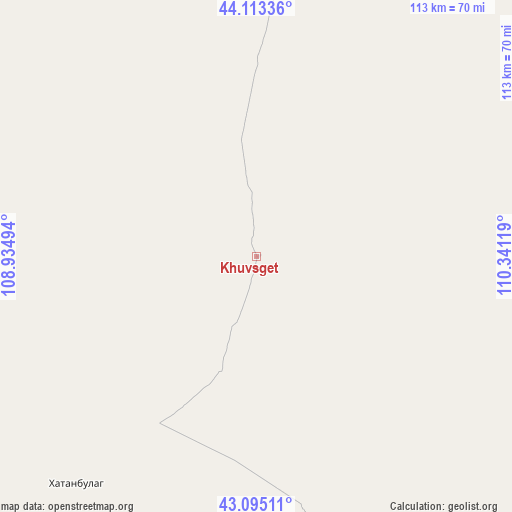
Khuvsget GPS coordinates[2]
43° 36' 23.004" North, 109° 38' 17.016" East
| Map corner | latitude | longitude |
|---|---|---|
| Upper-left | 44.11336°, | 108.93494° |
| Center: | 43.60639°, | 109.63806° |
| Lower-right: | 43.09511°, | 110.34119° |
| Map W x H: | 113.2×113.2 km | = 70.3×70.3mi |
| max Lat: | 51.50725° ⇑96.9% North |
| Khuvsget: | 43.60639° |
| min Lat: | ⇓3.1% South 42.84199° |
| min Long | Khuvsget | max Long |
| 89.14358° | 109.63806° | 118.51014° |
| W 85.3%⇐ | ⇒14.7% E |
Elevation
Elevation of Khuvsget is 996 m = 3268 ft, and this is 420.5 m = 1380 ft below average elevation for this country.
| Max E: |
2800 m = 9186 ft | 85.9% |
| Avg. | 1416.5 m = 4647 ft | |
| Khuvsget | 996 m = 3268 ft | |
Min E: |
619 m = 2031 ft | 14.1% |
See also: Mongolia elevation on elevation.city.
Geographical zone
Khuvsget is located in North temperate zone (between Tropic of Cancer and the Arctic Circle). Distance of this Northern Tropic circle is 2242.7 km =1393.5 mi to South.| Distance of | km | miles | from Khuvsget |
|---|---|---|---|
| North Pole | 5158.5 | 3205.3 | to North |
| Arctic Circle | 2552.6 | 1586.1 | to North |
| Tropic Cancer | 2242.7 | 1393.5 | to South |
| Equator | 4848.6 | 3012.8 | to South |


Nearby cities:
15 places around Khuvsget: (largest is in red/bold)
• Argatay
273.5 km =169.9 mi,  331°
331°
• Böhöt
210.4 km =130.7 mi, 329°
• Chandmanĭ
224.1 km =139.2 mi,  17°
17°
• Ergel
65.1 km =40.5 mi,  218°
218°
• Hongor
273.3 km =169.8 mi,  26°
26°
• Ihbulag
202.1 km =125.6 mi,  257°
257°
• Naran-mandokhu Somon
141.8 km =88.1 mi,  308°
308°
• Nüden
66.8 km =41.5 mi,  92°
92°
• Saynshand
146.9 km =91.3 mi, 15°
• Senj
152.8 km =94.9 mi,  36°
36°
• Tsagaandörvölj
245 km =152.2 mi,  354°
354°
• Tsomog
260.8 km =162.1 mi, 350°
• Ulaan-Uul
151.1 km =93.9 mi,  57°
57°
• Öldziyt
129.6 km =80.5 mi,  337°
337°
• Üydzen
228.2 km =141.8 mi,  283°
283°
Sources, notices
• [Note1] Compared only with cities in Mongolia existing in our database
• [Src1] Map data: © OpenStreetMap contributors (CC-BY-SA)
• [Src2] Other city data from geonames.org with taken over terms of usage.
• [Src3] Geographical zone / Annual Mean Temperature by Robert A. Rohde @ Wikipedia
