Badrah geodata
Badrah (Hövsgöl) is a seat of a second-order administrative division; located in Mongolia in Asia/Ulaanbaatar (GMT+8) time zone. In our database, there are 33 cities with bigger population. Compared to other cities in Mongolia, 89.3% of cities are located further ↓South; 54.6% of cities are located further →East and 66% of cities have higher elevation than Badrah. Note1


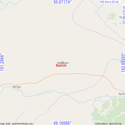
Badrah GPS coordinates[2]
49° 37' 5.988" North, 101° 59' 22.992" East
| Map corner | latitude | longitude |
|---|---|---|
| Upper-left | 50.07174°, | 101.2866° |
| Center: | 49.61833°, | 101.98972° |
| Lower-right: | 49.16066°, | 102.69285° |
| Map W x H: | 101.3×101.3 km | = 62.9×62.9mi |
| max Lat: | 51.50725° ⇑10.7% North |
| Badrah: | 49.61833° |
| min Lat: | ⇓89.3% South 42.84199° |
| min Long | Badrah | max Long |
| 89.14358° | 101.98972° | 118.51014° |
| W 45.4%⇐ | ⇒54.6% E |
Elevation
Elevation of Badrah is 1230 m = 4035 ft, and this is 186.5 m = 612 ft below average elevation for this country.
| Max E: |
2800 m = 9186 ft | 66% |
| Avg. | 1416.5 m = 4647 ft | |
| Badrah | 1230 m = 4035 ft | |
Min E: |
619 m = 2031 ft | 34% |
See also: Mongolia elevation on elevation.city.
Geographical zone
Badrah is located in North temperate zone (between Tropic of Cancer and the Arctic Circle). Distance of this North polar circle is 1884.1 km =1170.7 mi to North.| Distance of | km | miles | from Badrah |
|---|---|---|---|
| North Pole | 4490 | 2790 | to North |
| Arctic Circle | 1884.1 | 1170.7 | to North |
| Tropic Cancer | 2911.1 | 1808.9 | to South |
| Equator | 5517 | 3428.1 | to South |


Nearby cities:
15 places around Badrah: (largest is in red/bold)
• Bulag
101.5 km =63.1 mi,  285°
285°
• Bulgan
108.2 km =67.2 mi,  341°
341°
• Eg-Uur
62.2 km =38.6 mi,  331°
331°
• Hujirt
98.3 km =61.1 mi,  213°
213°
• Hutag
56.5 km =35.1 mi,  116°
116°
• Hüremt
115.8 km =72 mi,  156°
156°
• Jargalant
130.3 km =81 mi,  254°
254°
• Rashaant
68.1 km =42.3 mi,  216°
216°
• Selenge
43 km =26.7 mi,  241°
241°
• Sharga
64.5 km =40.1 mi,  173°
173°
• Teshig
60.5 km =37.6 mi,  52°
52°
• Tsengel
80.9 km =50.3 mi,  258°
258°
• Undur Sume
121.6 km =75.6 mi,  321°
321°
• Uubulan
112.3 km =69.8 mi,  182°
182°
• Öldziyt
129.2 km =80.3 mi,  200°
200°
Sources, notices
• [Note1] Compared only with cities in Mongolia existing in our database
• [Src1] Map data: © OpenStreetMap contributors (CC-BY-SA)
• [Src2] Other city data from geonames.org with taken over terms of usage.
• [Src3] Geographical zone / Annual Mean Temperature by Robert A. Rohde @ Wikipedia
