Hutag geodata
Hutag (Bulgan) is a seat of a second-order administrative division; located in Mongolia in Asia/Ulaanbaatar (GMT+8) time zone. In our database, there are 33 cities with bigger population. Compared to other cities in Mongolia, 85% of cities are located further ↓South; 50.6% of cities are located further ←West and 87.7% of cities have higher elevation than Hutag. Note1


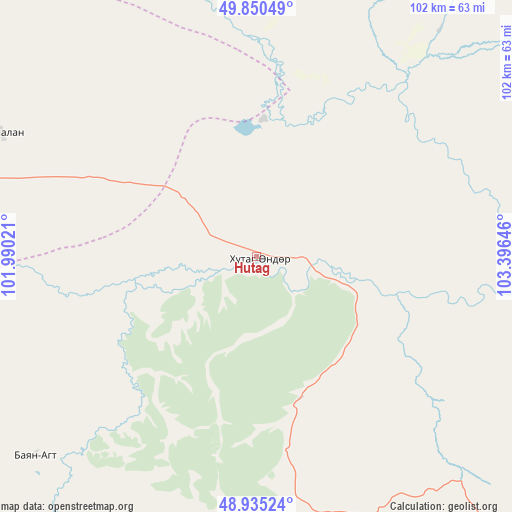
Hutag GPS coordinates[2]
49° 23' 42" North, 102° 41' 35.988" East
| Map corner | latitude | longitude |
|---|---|---|
| Upper-left | 49.85049°, | 101.99021° |
| Center: | 49.395°, | 102.69333° |
| Lower-right: | 48.93524°, | 103.39646° |
| Map W x H: | 101.8×101.8 km | = 63.3×63.3mi |
| max Lat: | 51.50725° ⇑15% North |
| Hutag: | 49.395° |
| min Lat: | ⇓85% South 42.84199° |
| min Long | Hutag | max Long |
| 89.14358° | 102.69333° | 118.51014° |
| W 50.6%⇐ | ⇒49.4% E |
Elevation
Elevation of Hutag is 950 m = 3117 ft, and this is 466.5 m = 1531 ft below average elevation for this country.
| Max E: |
2800 m = 9186 ft | 87.7% |
| Avg. | 1416.5 m = 4647 ft | |
| Hutag | 950 m = 3117 ft | |
Min E: |
619 m = 2031 ft | 12.3% |
See also: Mongolia elevation on elevation.city.
Geographical zone
Hutag is located in North temperate zone (between Tropic of Cancer and the Arctic Circle). Distance of this North polar circle is 1909 km =1186.2 mi to North.| Distance of | km | miles | from Hutag |
|---|---|---|---|
| North Pole | 4514.9 | 2805.4 | to North |
| Arctic Circle | 1909 | 1186.2 | to North |
| Tropic Cancer | 2886.3 | 1793.5 | to South |
| Equator | 5492.2 | 3412.7 | to South |


Nearby cities:
15 places around Hutag: (largest is in red/bold)
• Badrah
56.5 km =35.1 mi,  296°
296°
• Bugat
79.5 km =49.4 mi,  117°
117°
• Bulgan
89.1 km =55.4 mi,  136°
136°
• Eg-Uur
113 km =70.2 mi,  314°
314°
• Erdenet
108.7 km =67.5 mi,  111°
111°
• Hujirt
120.2 km =74.7 mi,  241°
241°
• Hüremt
81.5 km =50.6 mi,  183°
183°
• Ingettolgoy
92.9 km =57.7 mi,  85°
85°
• Mandal
104.5 km =64.9 mi, 144°
• Rashaant
96.5 km =60 mi,  251°
251°
• Selenge
88.8 km =55.2 mi,  272°
272°
• Sharga
58.9 km =36.6 mi,  228°
228°
• Sört
122.6 km =76.2 mi, 94°
• Teshig
61.4 km =38.2 mi,  357°
357°
• Uubulan
103.5 km =64.3 mi,  212°
212°
Sources, notices
• [Note1] Compared only with cities in Mongolia existing in our database
• [Src1] Map data: © OpenStreetMap contributors (CC-BY-SA)
• [Src2] Other city data from geonames.org with taken over terms of usage.
• [Src3] Geographical zone / Annual Mean Temperature by Robert A. Rohde @ Wikipedia
