Hungiy geodata
Hungiy (Dzabkhan) is a seat of a second-order administrative division; located in Mongolia in Asia/Hovd (GMT+7) time zone. In our database, there are 33 cities with bigger population. Compared to other cities in Mongolia, 66.6% of cities are located further ↓South; 85.9% of cities are located further →East and 61% of cities have higher elevation than Hungiy. Note1


Hungiy GPS coordinates[2]
48° 31' 0.192" North, 94° 17' 39.408" East
| Map corner | latitude | longitude |
|---|---|---|
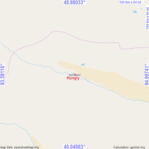
| Upper-left | 48.98033°, | 93.59116° |
| Center: | 48.51672°, | 94.29428° |
| Lower-right: | 48.04883°, | 94.99741° |
| Map W x H: | 103.6×103.6 km | = 64.4×64.4mi |
| max Lat: | 51.50725° ⇑33.4% North |
| Hungiy: | 48.51672° |
| min Lat: | ⇓66.6% South 42.84199° |
| min Long | Hungiy | max Long |
| 89.14358° | 94.29428° | 118.51014° |
| W 14.1%⇐ | ⇒85.9% E |
Elevation
Elevation of Hungiy is 1269 m = 4163 ft, and this is 147.5 m = 484 ft below average elevation for this country.
| Max E: |
2800 m = 9186 ft | 61% |
| Avg. | 1416.5 m = 4647 ft | |
| Hungiy | 1269 m = 4163 ft | |
Min E: |
619 m = 2031 ft | 39% |
See also: Mongolia elevation on elevation.city.
Geographical zone
Hungiy is located in North temperate zone (between Tropic of Cancer and the Arctic Circle). Distance of this North polar circle is 2006.6 km =1246.8 mi to North.| Distance of | km | miles | from Hungiy |
|---|---|---|---|
| North Pole | 4612.5 | 2866.1 | to North |
| Arctic Circle | 2006.6 | 1246.8 | to North |
| Tropic Cancer | 2788.6 | 1732.8 | to South |
| Equator | 5394.6 | 3352 | to South |


Nearby cities:
15 places around Hungiy: (largest is in red/bold)
• Altan
114.2 km =71 mi,  112°
112°
• Baruunturuun
127.3 km =79.1 mi,  3°
3°
• Buga
109.7 km =68.2 mi,  151°
151°
• Bugat
118.3 km =73.5 mi,  342°
342°
• Chandmanĭ
153.7 km =95.5 mi, 109°
• Holboo
84.2 km =52.3 mi,  84°
84°
• Jargalant
121.7 km =75.6 mi,  43°
43°
• Nuga
64.6 km =40.1 mi, 110°
• Sayn-Ust
130 km =80.8 mi,  172°
172°
• Sharbulag
93.8 km =58.3 mi,  290°
290°
• Tegsh
128 km =79.5 mi, 78°
• Tsagaanhayrhan
98.3 km =61.1 mi,  357°
357°
• Tsalgar
152.9 km =95 mi,  330°
330°
• Tsetserleg
93.5 km =58.1 mi,  26°
26°
• Urdgol
143.7 km =89.3 mi,  238°
238°
Sources, notices
• [Note1] Compared only with cities in Mongolia existing in our database
• [Src1] Map data: © OpenStreetMap contributors (CC-BY-SA)
• [Src2] Other city data from geonames.org with taken over terms of usage.
• [Src3] Geographical zone / Annual Mean Temperature by Robert A. Rohde @ Wikipedia
