Nuga geodata
Nuga (Dzabkhan) is a seat of a second-order administrative division; located in Mongolia in Asia/Hovd (GMT+7) time zone. In our database, there are 33 cities with bigger population. Compared to other cities in Mongolia, 64.1% of cities are located further ↓South; 83.4% of cities are located further →East and 55.5% of cities have lower elevation than Nuga. Note1


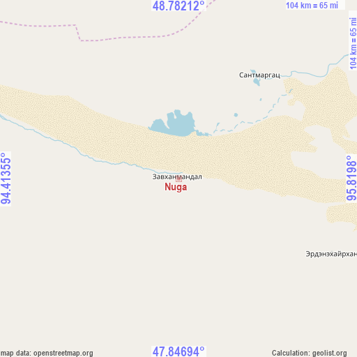
Nuga GPS coordinates[2]
48° 19' 0.012" North, 95° 7' 0.012" East
| Map corner | latitude | longitude |
|---|---|---|
| Upper-left | 48.78212°, | 94.41355° |
| Center: | 48.31667°, | 95.11667° |
| Lower-right: | 47.84694°, | 95.8198° |
| Map W x H: | 104×104 km | = 64.6×64.6mi |
| max Lat: | 51.50725° ⇑35.9% North |
| Nuga: | 48.31667° |
| min Lat: | ⇓64.1% South 42.84199° |
| min Long | Nuga | max Long |
| 89.14358° | 95.11667° | 118.51014° |
| W 16.6%⇐ | ⇒83.4% E |
Elevation
Elevation of Nuga is 1443 m = 4734 ft, and this is 26.5 m = 87 ft above average elevation for this country.
| Max E: |
2800 m = 9186 ft | 44.5% |
| Nuga | 1443 m 4734 ft | |
| Avg. | 1416.5 m = 4647 ft | |
Min E: |
619 m = 2031 ft | 55.5% |
See also: Mongolia elevation on elevation.city.
Geographical zone
Nuga is located in North temperate zone (between Tropic of Cancer and the Arctic Circle). Distance of this North polar circle is 2028.9 km =1260.7 mi to North.| Distance of | km | miles | from Nuga |
|---|---|---|---|
| North Pole | 4634.8 | 2879.9 | to North |
| Arctic Circle | 2028.9 | 1260.7 | to North |
| Tropic Cancer | 2766.4 | 1719 | to South |
| Equator | 5372.3 | 3338.2 | to South |


Nearby cities:
15 places around Nuga: (largest is in red/bold)
• Aldar
129.6 km =80.5 mi,  125°
125°
• Altan
49.7 km =30.9 mi,  116°
116°
• Altanbulag
142 km =88.2 mi,  39°
39°
• Bayan
147.3 km =91.5 mi,  177°
177°
• Buga
74.6 km =46.4 mi,  186°
186°
• Chandmanĭ
89.1 km =55.4 mi,  109°
109°
• Holboo
38.2 km =23.7 mi, 37°
• Hungiy
64.6 km =40.1 mi,  290°
290°
• Jargalant
112.7 km =70 mi,  12°
12°
• Oygon
128.5 km =79.8 mi,  54°
54°
• Sayn-Ust
115.5 km =71.8 mi,  202°
202°
• Tegsh
81 km =50.3 mi, 53°
• Tsagaanhayrhan
136.7 km =84.9 mi,  331°
331°
• Tsetserleg
107.8 km =67 mi,  349°
349°
• Uliastay
143.5 km =89.2 mi, 116°
Sources, notices
• [Note1] Compared only with cities in Mongolia existing in our database
• [Src1] Map data: © OpenStreetMap contributors (CC-BY-SA)
• [Src2] Other city data from geonames.org with taken over terms of usage.
• [Src3] Geographical zone / Annual Mean Temperature by Robert A. Rohde @ Wikipedia
