Sayn-Ust geodata
Sayn-Ust (Govĭ-Altay) is a seat of a second-order administrative division; located in Mongolia in Asia/Hovd (GMT+7) time zone. In our database, there are 33 cities with bigger population. Compared to other cities in Mongolia, 55.5% of cities are located further ↑North; 85% of cities are located further →East and 56.4% of cities have lower elevation than Sayn-Ust. Note1


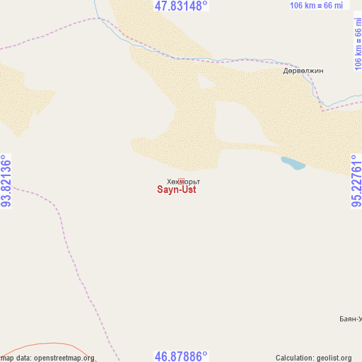
Sayn-Ust GPS coordinates[2]
47° 21' 26.352" North, 94° 31' 28.128" East
| Map corner | latitude | longitude |
|---|---|---|
| Upper-left | 47.83148°, | 93.82136° |
| Center: | 47.35732°, | 94.52448° |
| Lower-right: | 46.87886°, | 95.22761° |
| Map W x H: | 105.9×105.9 km | = 65.8×65.8mi |
| max Lat: | 51.50725° ⇑55.5% North |
| Sayn-Ust: | 47.35732° |
| min Lat: | ⇓44.5% South 42.84199° |
| min Long | Sayn-Ust | max Long |
| 89.14358° | 94.52448° | 118.51014° |
| W 15%⇐ | ⇒85% E |
Elevation
Elevation of Sayn-Ust is 1448 m = 4751 ft, and this is 31.5 m = 103 ft above average elevation for this country.
| Max E: |
2800 m = 9186 ft | 43.6% |
| Sayn-Ust | 1448 m 4751 ft | |
| Avg. | 1416.5 m = 4647 ft | |
Min E: |
619 m = 2031 ft | 56.4% |
See also: Mongolia elevation on elevation.city.
Geographical zone
Sayn-Ust is located in North temperate zone (between Tropic of Cancer and the Arctic Circle). Distance of this North polar circle is 2135.5 km =1326.9 mi to North.| Distance of | km | miles | from Sayn-Ust |
|---|---|---|---|
| North Pole | 4741.4 | 2946.2 | to North |
| Arctic Circle | 2135.5 | 1326.9 | to North |
| Tropic Cancer | 2659.7 | 1652.7 | to South |
| Equator | 5265.6 | 3271.9 | to South |


Nearby cities:
15 places around Sayn-Ust: (largest is in red/bold)
• Altan
122.8 km =76.3 mi,  46°
46°
• Altanteel
129.8 km =80.7 mi,  257°
257°
• Bayan
65.2 km =40.5 mi,  128°
128°
• Buga
48.4 km =30.1 mi, 47°
• Buyanbat
114 km =70.8 mi,  111°
111°
• Chandmanĭ
150.3 km =93.4 mi,  59°
59°
• Darvi
83.1 km =51.6 mi,  235°
235°
• Darvi
105.5 km =65.6 mi,  197°
197°
• Dzüyl
126 km =78.3 mi, 201°
• Hungiy
130 km =80.8 mi,  352°
352°
• Nuga
115.5 km =71.8 mi,  22°
22°
• Sharga
135.5 km =84.2 mi,  155°
155°
• Tsetsegnuur
127.3 km =79.1 mi,  228°
228°
• Ulaantolgoy
151.8 km =94.3 mi, 240°
• Urdgol
150.2 km =93.3 mi,  290°
290°
Sources, notices
• [Note1] Compared only with cities in Mongolia existing in our database
• [Src1] Map data: © OpenStreetMap contributors (CC-BY-SA)
• [Src2] Other city data from geonames.org with taken over terms of usage.
• [Src3] Geographical zone / Annual Mean Temperature by Robert A. Rohde @ Wikipedia
