Chandmanĭ geodata
Chandmanĭ (Dzabkhan) is a seat of a second-order administrative division; located in Mongolia in Asia/Hovd (GMT+7) time zone. In our database, there are 33 cities with bigger population. Compared to other cities in Mongolia, 58.6% of cities are located further ↓South; 80.1% of cities are located further →East and 93.3% of cities have lower elevation than Chandmanĭ. Note1


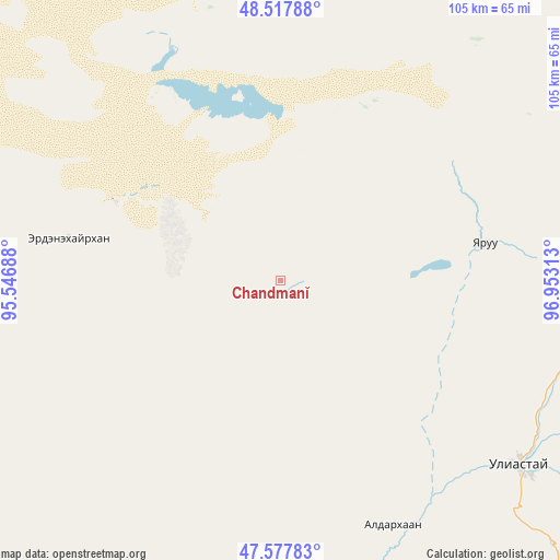
Chandmanĭ GPS coordinates[2]
48° 3' 0" North, 96° 15' 0" East
| Map corner | latitude | longitude |
|---|---|---|
| Upper-left | 48.51788°, | 95.54688° |
| Center: | 48.05°, | 96.25° |
| Lower-right: | 47.57783°, | 96.95313° |
| Map W x H: | 104.5×104.5 km | = 64.9×64.9mi |
| max Lat: | 51.50725° ⇑41.4% North |
| Chandmanĭ: | 48.05° |
| min Lat: | ⇓58.6% South 42.84199° |
| min Long | Chandmanĭ | max Long |
| 89.14358° | 96.25° | 118.51014° |
| W 19.9%⇐ | ⇒80.1% E |
Elevation
Elevation of Chandmanĭ is 2113 m = 6932 ft, and this is 696.5 m = 2285 ft above average elevation for this country.
| Max E: |
2800 m = 9186 ft | 6.7% |
| Chandmanĭ | 2113 m 6932 ft | |
| Avg. | 1416.5 m = 4647 ft | |
Min E: |
619 m = 2031 ft | 93.3% |
See also: Mongolia elevation on elevation.city.
Geographical zone
Chandmanĭ is located in North temperate zone (between Tropic of Cancer and the Arctic Circle). Distance of this North polar circle is 2058.5 km =1279.1 mi to North.| Distance of | km | miles | from Chandmanĭ |
|---|---|---|---|
| North Pole | 4664.4 | 2898.3 | to North |
| Arctic Circle | 2058.5 | 1279.1 | to North |
| Tropic Cancer | 2736.7 | 1700.5 | to South |
| Equator | 5342.7 | 3319.8 | to South |


Nearby cities:
15 places around Chandmanĭ: (largest is in red/bold)
• Aldar
50.1 km =31.1 mi,  154°
154°
• Altan
40.3 km =25 mi,  280°
280°
• Buga
103.3 km =64.2 mi,  244°
244°
• Buyanbat
121.6 km =75.6 mi,  191°
191°
• Buyant
137.9 km =85.7 mi,  132°
132°
• Dzuunmod
85.5 km =53.1 mi,  77°
77°
• Holboo
85.1 km =52.9 mi,  314°
314°
• Hödrögö
105.5 km =65.6 mi,  29°
29°
• Nuga
89.1 km =55.4 mi,  289°
289°
• Oygon
106.3 km =66.1 mi,  11°
11°
• Shiree
74.1 km =46 mi, 146°
• Tegsh
80.1 km =49.8 mi,  346°
346°
• Telmin Suma
120.7 km =75 mi,  56°
56°
• Tsagaanchuluut
109 km =67.7 mi,  163°
163°
• Uliastay
56 km =34.8 mi, 127°
Sources, notices
• [Note1] Compared only with cities in Mongolia existing in our database
• [Src1] Map data: © OpenStreetMap contributors (CC-BY-SA)
• [Src2] Other city data from geonames.org with taken over terms of usage.
• [Src3] Geographical zone / Annual Mean Temperature by Robert A. Rohde @ Wikipedia
