Tlalquetzala geodata
Tlalquetzala (Guerrero) is a populated place; located in Mexico in America/Mexico_City (GMT-6) time zone. With population of 922 people, there are 9474 cities with bigger population in this country. Compared to other cities in Mexico, 81.3% of cities are located further ↑North; 56.8% of cities are located further ←West and 61% of cities have higher elevation than Tlalquetzala. Note1


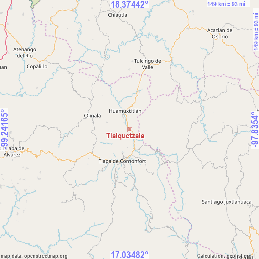
Tlalquetzala GPS coordinates[2]
17° 42' 21.132" North, 98° 32' 18.672" West
| Map corner | latitude | longitude |
|---|---|---|
| Upper-left | 18.37442°, | -99.24165° |
| Center: | 17.70587°, | -98.53852° |
| Lower-right: | 17.03482°, | -97.8354° |
| Map W x H: | 148.9×149 km | = 92.5×92.6mi |
| max Lat: | 32.7° ⇑81.3% North |
| Tlalquetzala: | 17.70587° |
| min Lat: | ⇓18.7% South 14.53588° |
| min Long | Tlalquetzala | max Long |
| -117.105° | -98.53852° | -86.73105° |
| W 56.8%⇐ | ⇒43.2% E |
Elevation
Elevation of Tlalquetzala is 937 m = 3074 ft, and this is 316.7 m = 1039 ft below average elevation for this country.
| Max E: |
3497 m = 11473 ft | 61% |
| Avg. | 1253.7 m = 4113 ft | |
| Tlalquetzala | 937 m = 3074 ft | |
Min E: |
-1 m = -3 ft | 39% |
See also: Mexico elevation on elevation.city.
Geographical zone
Tlalquetzala is located in North Torrid zone (between Equator and Tropic of Cancer). Distance of this Northern Tropic circle is 637.2 km =395.9 mi to North.| Distance of | km | miles | from Tlalquetzala |
|---|---|---|---|
| North Pole | 8038.4 | 4994.8 | to North |
| Arctic Circle | 5432.5 | 3375.6 | to North |
| Tropic Cancer | 637.2 | 395.9 | to North |
| Equator | 1968.7 | 1223.3 | to South |


Nearby cities:
15 places around Tlalquetzala: (largest is in red/bold)
• Ahuatepec Pueblo
12.4 km =7.7 mi,  205°
205°
• Alpoyeca
5 km =3.1 mi,  142°
142°
• Chiepetlán (San Miguel Chiepetlán)
12.6 km =7.8 mi,  243°
243°
• Coatlaco
10.7 km =6.6 mi,  266°
266°
• Coyahualco
4.9 km =3 mi,  322°
322°
• Cualác
13.6 km =8.5 mi,  287°
287°
• Huamuxtitlán
11.3 km =7 mi,  346°
346°
• Ixcateopan
10.1 km =6.3 mi,  165°
165°
• San José Buenavista
3.9 km =2.4 mi,  159°
159°
• San Pedro Aytec
1.6 km =1 mi,  124°
124°
• Santa Cruz
7.7 km =4.8 mi,  333°
333°
• Tecoyame de Guadalupe
12.9 km =8 mi, 135°
• Tlaquiltepec
3 km =1.9 mi,  341°
341°
• Tlatzala
10.2 km =6.3 mi,  186°
186°
• Zacualpan
7.7 km =4.8 mi, 242°
Sources, notices
• [Note1] Compared only with cities in Mexico existing in our database
• [Src1] Map data: © OpenStreetMap contributors (CC-BY-SA)
• [Src2] Other city data from geonames.org with taken over terms of usage.
• [Src3] Geographical zone / Annual Mean Temperature by Robert A. Rohde @ Wikipedia
