Alpoyeca geodata
Alpoyeca (Guerrero) is a seat of a second-order administrative division; located in Mexico in America/Mexico_City (GMT-6) time zone. With population of 3,874 people, there are 2364 cities with bigger population in this country. Compared to other cities in Mexico, 81.6% of cities are located further ↑North; 57.1% of cities are located further ←West and 60.6% of cities have higher elevation than Alpoyeca. Note1


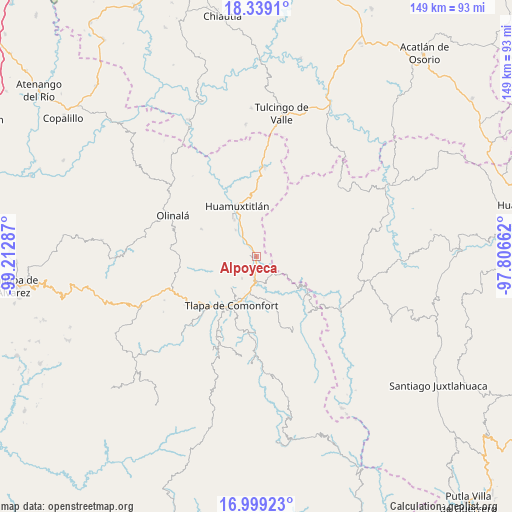
Alpoyeca GPS coordinates[2]
17° 40' 13.476" North, 98° 30' 35.064" West
| Map corner | latitude | longitude |
|---|---|---|
| Upper-left | 18.3391°, | -99.21287° |
| Center: | 17.67041°, | -98.50974° |
| Lower-right: | 16.99923°, | -97.80662° |
| Map W x H: | 149×149 km | = 92.6×92.6mi |
| max Lat: | 32.7° ⇑81.6% North |
| Alpoyeca: | 17.67041° |
| min Lat: | ⇓18.4% South 14.53588° |
| min Long | Alpoyeca | max Long |
| -117.105° | -98.50974° | -86.73105° |
| W 57.1%⇐ | ⇒42.9% E |
Elevation
Elevation of Alpoyeca is 965 m = 3166 ft, and this is 288.7 m = 947 ft below average elevation for this country.
| Max E: |
3497 m = 11473 ft | 60.6% |
| Avg. | 1253.7 m = 4113 ft | |
| Alpoyeca | 965 m = 3166 ft | |
Min E: |
-1 m = -3 ft | 39.4% |
See also: Mexico elevation on elevation.city.
Geographical zone
Alpoyeca is located in North Torrid zone (between Equator and Tropic of Cancer). Distance of this Northern Tropic circle is 641.2 km =398.4 mi to North.| Distance of | km | miles | from Alpoyeca |
|---|---|---|---|
| North Pole | 8042.3 | 4997.3 | to North |
| Arctic Circle | 5436.4 | 3378 | to North |
| Tropic Cancer | 641.2 | 398.4 | to North |
| Equator | 1964.8 | 1220.9 | to South |


Nearby cities:
15 places around Alpoyeca: (largest is in red/bold)
• Ahuatepec Pueblo
11.1 km =6.9 mi,  229°
229°
• Atlamajac
13.4 km =8.3 mi,  197°
197°
• Coatlaco
14.1 km =8.8 mi,  283°
283°
• Coyahualco
9.9 km =6.2 mi,  322°
322°
• Ixcateopan
5.8 km =3.6 mi,  184°
184°
• San José Buenavista
1.7 km =1.1 mi, 280°
• San Mateo Nejápam
10 km =6.2 mi,  99°
99°
• San Pedro Aytec
3.5 km =2.2 mi,  330°
330°
• Santa Cruz
12.6 km =7.8 mi, 329°
• Tecoyame de Guadalupe
8 km =5 mi,  130°
130°
• Tepetlapa
12.5 km =7.8 mi,  92°
92°
• Tlalquetzala
5 km =3.1 mi, 322°
• Tlaquiltepec
7.9 km =4.9 mi, 329°
• Tlatzala
7.5 km =4.7 mi,  214°
214°
• Zacualpan
9.9 km =6.2 mi,  271°
271°
Sources, notices
• [Note1] Compared only with cities in Mexico existing in our database
• [Src1] Map data: © OpenStreetMap contributors (CC-BY-SA)
• [Src2] Other city data from geonames.org with taken over terms of usage.
• [Src3] Geographical zone / Annual Mean Temperature by Robert A. Rohde @ Wikipedia
