Sucopó geodata
Sucopó (Yucatán) is a populated place; located in Mexico in America/Merida (GMT-6) time zone. With population of 1,517 people, there are 5684 cities with bigger population in this country. Compared to other cities in Mexico, 78.7% of cities are located further ↓South; 99.7% of cities are located further ←West and 92.5% of cities have higher elevation than Sucopó. Note1


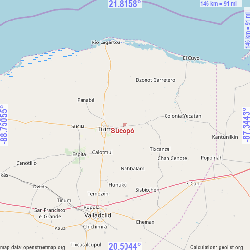
Sucopó GPS coordinates[2]
21° 9' 41.58" North, 88° 2' 50.712" West
| Map corner | latitude | longitude |
|---|---|---|
| Upper-left | 21.8158°, | -88.75055° |
| Center: | 21.16155°, | -88.04742° |
| Lower-right: | 20.5044°, | -87.3443° |
| Map W x H: | 145.8×145.8 km | = 90.6×90.6mi |
| max Lat: | 32.7° ⇑21.3% North |
| Sucopó: | 21.16155° |
| min Lat: | ⇓78.7% South 14.53588° |
| min Long | Sucopó | max Long |
| -117.105° | -88.04742° | -86.73105° |
| W 99.7%⇐ | ⇒0.3% E |
Elevation
Elevation of Sucopó is 18 m = 59 ft, and this is 1235.7 m = 4054 ft below average elevation for this country.
| Max E: |
3497 m = 11473 ft | 92.5% |
| Avg. | 1253.7 m = 4113 ft | |
| Sucopó | 18 m = 59 ft | |
Min E: |
-1 m = -3 ft | 7.5% |
See also: Mexico elevation on elevation.city.
Geographical zone
Sucopó is located in North Torrid zone (between Equator and Tropic of Cancer). Distance of this Northern Tropic circle is 253 km =157.2 mi to North.| Distance of | km | miles | from Sucopó |
|---|---|---|---|
| North Pole | 7654.1 | 4756 | to North |
| Arctic Circle | 5048.2 | 3136.8 | to North |
| Tropic Cancer | 253 | 157.2 | to North |
| Equator | 2352.9 | 1462 | to South |


Nearby cities:
15 places around Sucopó: (largest is in red/bold)
• Calotmul
20.7 km =12.9 mi,  220°
220°
• Chan Cenote
33.1 km =20.6 mi,  124°
124°
• Colonia Yucatán
34 km =21.1 mi,  80°
80°
• Dzalbay
36.4 km =22.6 mi,  180°
180°
• Dzonot Carretero
31.8 km =19.8 mi,  33°
33°
• Espita
31.7 km =19.7 mi,  238°
238°
• Holcá
24.2 km =15 mi,  251°
251°
• Hunuku
34.7 km =21.6 mi,  187°
187°
• Loché
27.2 km =16.9 mi,  338°
338°
• Panabá
27.5 km =17.1 mi,  302°
302°
• Pocoboch
21.9 km =13.6 mi,  198°
198°
• Sucilá
27.7 km =17.2 mi,  268°
268°
• Tixcancal
24.8 km =15.4 mi, 124°
• Tizimín
10.9 km =6.8 mi,  258°
258°
• Xmuquel
36.6 km =22.7 mi,  143°
143°
Sources, notices
• [Note1] Compared only with cities in Mexico existing in our database
• [Src1] Map data: © OpenStreetMap contributors (CC-BY-SA)
• [Src2] Other city data from geonames.org with taken over terms of usage.
• [Src3] Geographical zone / Annual Mean Temperature by Robert A. Rohde @ Wikipedia
