Limones geodata
Limones (Veracruz) is a populated place; located in Mexico in America/Mexico_City (GMT-6) time zone. With population of 2,282 people, there are 3860 cities with bigger population in this country. Compared to other cities in Mexico, 57.9% of cities are located further ↑North; 75.9% of cities are located further ←West and 60.4% of cities have higher elevation than Limones. Note1


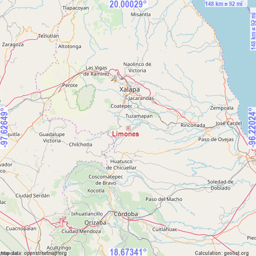
Limones GPS coordinates[2]
19° 20' 17.52" North, 96° 55' 24.096" West
| Map corner | latitude | longitude |
|---|---|---|
| Upper-left | 20.00029°, | -97.62649° |
| Center: | 19.3382°, | -96.92336° |
| Lower-right: | 18.67341°, | -96.22024° |
| Map W x H: | 147.5×147.5 km | = 91.7×91.7mi |
| max Lat: | 32.7° ⇑57.9% North |
| Limones: | 19.3382° |
| min Lat: | ⇓42.1% South 14.53588° |
| min Long | Limones | max Long |
| -117.105° | -96.92336° | -86.73105° |
| W 75.9%⇐ | ⇒24.1% E |
Elevation
Elevation of Limones is 977 m = 3205 ft, and this is 276.7 m = 908 ft below average elevation for this country.
| Max E: |
3497 m = 11473 ft | 60.4% |
| Avg. | 1253.7 m = 4113 ft | |
| Limones | 977 m = 3205 ft | |
Min E: |
-1 m = -3 ft | 39.6% |
See also: Mexico elevation on elevation.city.
Geographical zone
Limones is located in North Torrid zone (between Equator and Tropic of Cancer). Distance of this Northern Tropic circle is 455.7 km =283.2 mi to North.| Distance of | km | miles | from Limones |
|---|---|---|---|
| North Pole | 7856.9 | 4882 | to North |
| Arctic Circle | 5251 | 3262.8 | to North |
| Tropic Cancer | 455.7 | 283.2 | to North |
| Equator | 2150.2 | 1336.1 | to South |


Nearby cities:
15 places around Limones: (largest is in red/bold)
• Baxtla
6.2 km =3.9 mi,  296°
296°
• Cosautlán
7.1 km =4.4 mi,  264°
264°
• El Santuario (Barrio Nuevo)
7.7 km =4.8 mi,  158°
158°
• Emiliano Zapata
7 km =4.3 mi,  232°
232°
• Independencia
5.9 km =3.7 mi,  335°
335°
• La Reforma
2.1 km =1.3 mi, 228°
• Llano Grande
5.8 km =3.6 mi,  51°
51°
• Mahuixtlan
7.9 km =4.9 mi,  4°
4°
• Monte Blanco
4.4 km =2.7 mi,  350°
350°
• Piedra Parada
4 km =2.5 mi,  283°
283°
• Pinillo
5.2 km =3.2 mi,  197°
197°
• San Miguel Tlapéxcatl
8.1 km =5 mi,  242°
242°
• Teocelo
7.5 km =4.7 mi,  314°
314°
• Tlaltetela
3.5 km =2.2 mi,  138°
138°
• Vaquería
4.1 km =2.5 mi, 234°
Sources, notices
• [Note1] Compared only with cities in Mexico existing in our database
• [Src1] Map data: © OpenStreetMap contributors (CC-BY-SA)
• [Src2] Other city data from geonames.org with taken over terms of usage.
• [Src3] Geographical zone / Annual Mean Temperature by Robert A. Rohde @ Wikipedia
