Huilacapixtla geodata
Huilacapixtla (Puebla) is a populated place; located in Mexico in America/Mexico_City (GMT-6) time zone. With population of 1,580 people, there are 5466 cities with bigger population in this country. Compared to other cities in Mexico, 61.6% of cities are located further ↓South; 62.7% of cities are located further ←West and 64.3% of cities have lower elevation than Huilacapixtla. Note1


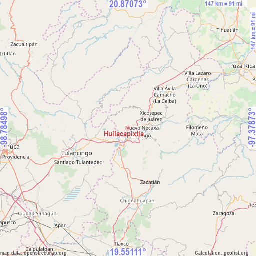
Huilacapixtla GPS coordinates[2]
20° 12' 44.352" North, 98° 4' 54.66" West
| Map corner | latitude | longitude |
|---|---|---|
| Upper-left | 20.87073°, | -98.78498° |
| Center: | 20.21232°, | -98.08185° |
| Lower-right: | 19.55111°, | -97.37873° |
| Map W x H: | 146.7×146.7 km | = 91.2×91.2mi |
| max Lat: | 32.7° ⇑38.4% North |
| Huilacapixtla: | 20.21232° |
| min Lat: | ⇓61.6% South 14.53588° |
| min Long | Huilacapixtla | max Long |
| -117.105° | -98.08185° | -86.73105° |
| W 62.7%⇐ | ⇒37.3% E |
Elevation
Elevation of Huilacapixtla is 1808 m = 5932 ft, and this is 554.3 m = 1819 ft above average elevation for this country.
| Max E: |
3497 m = 11473 ft | 35.7% |
| Huilacapixtla | 1808 m 5932 ft | |
| Avg. | 1253.7 m = 4113 ft | |
Min E: |
-1 m = -3 ft | 64.3% |
See also: Mexico elevation on elevation.city.
Geographical zone
Huilacapixtla is located in North Torrid zone (between Equator and Tropic of Cancer). Distance of this Northern Tropic circle is 358.5 km =222.8 mi to North.| Distance of | km | miles | from Huilacapixtla |
|---|---|---|---|
| North Pole | 7759.7 | 4821.7 | to North |
| Arctic Circle | 5153.8 | 3202.4 | to North |
| Tropic Cancer | 358.5 | 222.8 | to North |
| Equator | 2247.4 | 1396.5 | to South |


Nearby cities:
15 places around Huilacapixtla: (largest is in red/bold)
• Atlantongo
7 km =4.3 mi,  326°
326°
• Chachahuantla
5.4 km =3.4 mi,  257°
257°
• Copila
6.7 km =4.2 mi,  359°
359°
• Cuacuila
6.9 km =4.3 mi,  130°
130°
• Cuahuihuitzotitla
4 km =2.5 mi,  249°
249°
• Cuautlita
6.5 km =4 mi,  105°
105°
• Cuaxicala
6.5 km =4 mi,  62°
62°
• Huauchinango
5.1 km =3.2 mi,  146°
146°
• Icxotitla
3.9 km =2.4 mi, 329°
• Naupan
3.5 km =2.2 mi,  306°
306°
• Necaxa
7.3 km =4.5 mi,  89°
89°
• Patoltecoya
5.3 km =3.3 mi,  95°
95°
• San Francisco Atotonilco
7.5 km =4.7 mi, 254°
• Tlaxpanaloya
4.3 km =2.7 mi,  290°
290°
• Xolotla
7.4 km =4.6 mi, 313°
Sources, notices
• [Note1] Compared only with cities in Mexico existing in our database
• [Src1] Map data: © OpenStreetMap contributors (CC-BY-SA)
• [Src2] Other city data from geonames.org with taken over terms of usage.
• [Src3] Geographical zone / Annual Mean Temperature by Robert A. Rohde @ Wikipedia
