El Vigía geodata
El Vigía (Morelos) is a populated place; located in Mexico in America/Mexico_City (GMT-6) time zone. With population of 832 people, there are 10517 cities with bigger population in this country. Compared to other cities in Mexico, 64.5% of cities are located further ↑North; 50.8% of cities are located further ←West and 81.3% of cities have lower elevation than El Vigía. Note1


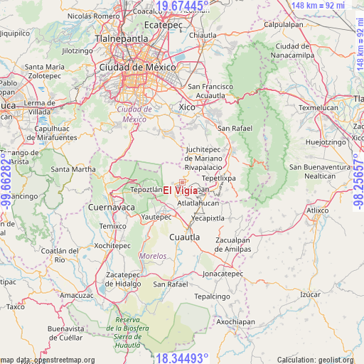
El Vigía GPS coordinates[2]
19° 0' 39.672" North, 98° 57' 34.884" West
| Map corner | latitude | longitude |
|---|---|---|
| Upper-left | 19.67445°, | -99.66282° |
| Center: | 19.01102°, | -98.95969° |
| Lower-right: | 18.34493°, | -98.25657° |
| Map W x H: | 147.8×147.8 km | = 91.8×91.8mi |
| max Lat: | 32.7° ⇑64.5% North |
| El Vigía: | 19.01102° |
| min Lat: | ⇓35.5% South 14.53588° |
| min Long | El Vigía | max Long |
| -117.105° | -98.95969° | -86.73105° |
| W 50.8%⇐ | ⇒49.2% E |
Elevation
Elevation of El Vigía is 2172 m = 7126 ft, and this is 918.3 m = 3013 ft above average elevation for this country.
| Max E: |
3497 m = 11473 ft | 18.7% |
| El Vigía | 2172 m 7126 ft | |
| Avg. | 1253.7 m = 4113 ft | |
Min E: |
-1 m = -3 ft | 81.3% |
See also: Mexico elevation on elevation.city.
Geographical zone
El Vigía is located in North Torrid zone (between Equator and Tropic of Cancer). Distance of this Northern Tropic circle is 492.1 km =305.8 mi to North.| Distance of | km | miles | from El Vigía |
|---|---|---|---|
| North Pole | 7893.2 | 4904.6 | to North |
| Arctic Circle | 5287.3 | 3285.4 | to North |
| Tropic Cancer | 492.1 | 305.8 | to North |
| Equator | 2113.8 | 1313.5 | to South |


Nearby cities:
15 places around El Vigía: (largest is in red/bold)
• Ahuatlán (Asunción Ahuatlán)
3.6 km =2.2 mi,  119°
119°
• Amatlipac (San Agustín Amatlipac)
3.2 km =2 mi,  199°
199°
• Amatlán de Quetzalcoatl
9.1 km =5.7 mi,  244°
244°
• Corral Grande
9.2 km =5.7 mi,  186°
186°
• Cuauhtempan (San Andrés Cuauhtempan)
4.3 km =2.7 mi,  160°
160°
• El Pedregal
2.6 km =1.6 mi,  258°
258°
• Emiliano Zapata (Casahuates)
8.9 km =5.5 mi,  179°
179°
• Felipe Neri (Cuatepec)
3.6 km =2.2 mi,  28°
28°
• La Cañada (San Sebastián)
2.3 km =1.4 mi, 200°
• Nacatongo
7.6 km =4.7 mi, 195°
• Nepopualco
2.2 km =1.4 mi,  126°
126°
• San Juan Texcalpan
9 km =5.6 mi, 158°
• Tlalnepantla
3.8 km =2.4 mi,  266°
266°
• Tlayacapan
6.6 km =4.1 mi, 200°
• Totolapan
5 km =3.1 mi, 125°
Sources, notices
• [Note1] Compared only with cities in Mexico existing in our database
• [Src1] Map data: © OpenStreetMap contributors (CC-BY-SA)
• [Src2] Other city data from geonames.org with taken over terms of usage.
• [Src3] Geographical zone / Annual Mean Temperature by Robert A. Rohde @ Wikipedia
