Coatepec geodata
Coatepec (Puebla) is a populated place; located in Mexico in America/Mexico_City (GMT-6) time zone. With population of 681 people, there are 12756 cities with bigger population in this country. Compared to other cities in Mexico, 58.3% of cities are located further ↓South; 66.9% of cities are located further ←West and 60% of cities have higher elevation than Coatepec. Note1


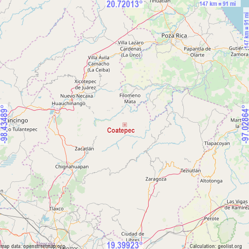
Coatepec GPS coordinates[2]
20° 3' 39.852" North, 97° 43' 54.336" West
| Map corner | latitude | longitude |
|---|---|---|
| Upper-left | 20.72013°, | -98.43489° |
| Center: | 20.06107°, | -97.73176° |
| Lower-right: | 19.39923°, | -97.02864° |
| Map W x H: | 146.9×146.9 km | = 91.3×91.3mi |
| max Lat: | 32.7° ⇑41.7% North |
| Coatepec: | 20.06107° |
| min Lat: | ⇓58.3% South 14.53588° |
| min Long | Coatepec | max Long |
| -117.105° | -97.73176° | -86.73105° |
| W 66.9%⇐ | ⇒33.1% E |
Elevation
Elevation of Coatepec is 1004 m = 3294 ft, and this is 249.7 m = 819 ft below average elevation for this country.
| Max E: |
3497 m = 11473 ft | 60% |
| Avg. | 1253.7 m = 4113 ft | |
| Coatepec | 1004 m = 3294 ft | |
Min E: |
-1 m = -3 ft | 40% |
See also: Mexico elevation on elevation.city.
Geographical zone
Coatepec is located in North Torrid zone (between Equator and Tropic of Cancer). Distance of this Northern Tropic circle is 375.3 km =233.2 mi to North.| Distance of | km | miles | from Coatepec |
|---|---|---|---|
| North Pole | 7776.5 | 4832.1 | to North |
| Arctic Circle | 5170.6 | 3212.9 | to North |
| Tropic Cancer | 375.3 | 233.2 | to North |
| Equator | 2230.6 | 1386 | to South |


Nearby cities:
15 places around Coatepec: (largest is in red/bold)
• Altica
7.9 km =4.9 mi,  292°
292°
• Amixtlán
7.2 km =4.5 mi,  258°
258°
• Bibiano Hernández
4.3 km =2.7 mi,  54°
54°
• Bienvenido
6.9 km =4.3 mi,  349°
349°
• Camocuautla
3.8 km =2.4 mi,  227°
227°
• Chipahuatlán
4.5 km =2.8 mi,  89°
89°
• Coyay
3.5 km =2.2 mi,  316°
316°
• Cuautotola
7 km =4.3 mi,  276°
276°
• Hueytlalpan
5.2 km =3.2 mi,  136°
136°
• Ignacio Ramírez
5.7 km =3.5 mi,  0°
0°
• Jojupango (San Miguel Jojupango)
5.8 km =3.6 mi,  312°
312°
• Olintla
6.7 km =4.2 mi, 47°
• Tapayula
4.9 km =3 mi,  195°
195°
• Zapotitlán
6.8 km =4.2 mi,  164°
164°
• Zitlala
7.3 km =4.5 mi,  113°
113°
Sources, notices
• [Note1] Compared only with cities in Mexico existing in our database
• [Src1] Map data: © OpenStreetMap contributors (CC-BY-SA)
• [Src2] Other city data from geonames.org with taken over terms of usage.
• [Src3] Geographical zone / Annual Mean Temperature by Robert A. Rohde @ Wikipedia
